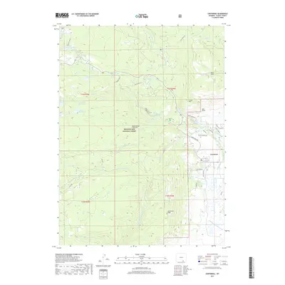
2017 Map of Centennial
USGS Topo · Published 2017About this map
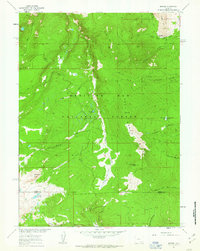
Centennial sits at the foot of the Medicine Bow Mountains, serving as a gateway to the high-elevation terrain of the Medicine Bow National Forest. The landscape is defined by the headwaters of the Little Laramie River, with the N Fork Little Laramie River and Middle Fork Little Laramie River carving through the granite slopes. Numerous small lakes, such as Mill Pond Lake, Swastika Lake, and the sister bodies Upper Silver Run Lake and Silver Run Lake, dot the glacial basins. The area’s water management history is visible through systems like the Adams Ditch and Maekle Ditch, which redirect snowmelt from the peaks toward the valley floor. Centennial Ridge and Corner Mtn provide prominent topographic landmarks, while historic routes like Snowy Range Rd and Barber Lake Rd offer access to the high country.
Find a feature on this map
50 named features on this map. Tap any name to fly to it.
Don’t see what you’re looking for? This feature index may not catch every label — zoom into the map to look around manually.
Map Details
Editions of this 2017 Centennial Map
This is the sole edition of this map. No revisions or reprints were ever made.
Other maps of this area

1906 · Medicine Bow
USGS Topo · 1:125,000

1908 · Medicine Bow
USGS Topo · 1:125,000

1954 · Rawlins
USGS Topo · 1:250,000

1958 · Rawlins
USGS Topo · 1:250,000

1961 · Sand Lake
USGS Topo · 1:24,000
1961 · Lake Owen
USGS Topo · 1:24,000
1961 · Strouss Hill
USGS Topo · 1:24,000

1961 · Medicine Bow Peak
USGS Topo · 1:24,000
1961 · Centennial
USGS Topo · 1:24,000
1961 · Morgan
USGS Topo · 1:24,000