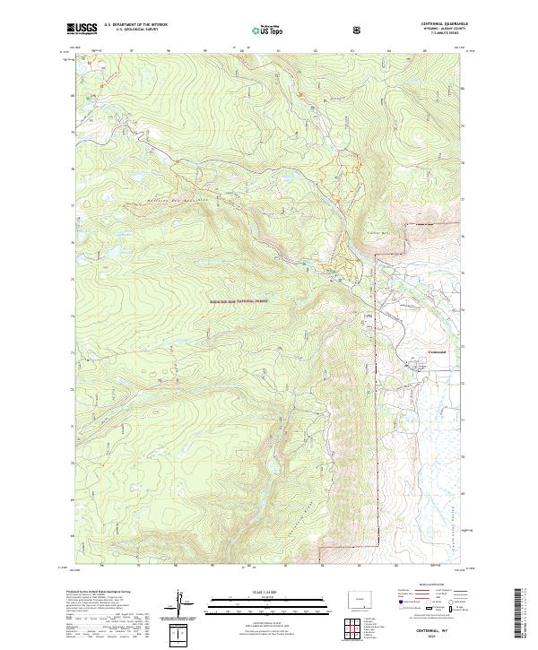
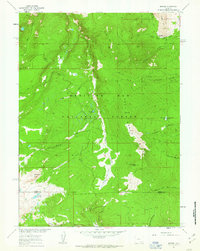
2021 Map of Centennial
USGS Topo · Published 2021About this map
Centennial sits at the foot of the Medicine Bow Mountains within the Medicine Bow National Forest, serving as a gateway to high-altitude terrain and water resources. The landscape is defined by the transition from the rugged Centennial Ridge to the flatter Centennial Valley, where an intricate network of irrigation channels like Adams Ditch, Old Channel Ditch, and Meekle Ditch diverts water from the Middle Fork Little Laramie River to support local ranching.
Find a feature on this map
60 named features on this map. Tap any name to fly to it.
Don’t see what you’re looking for? This feature index may not catch every label — zoom into the map to look around manually.
Map Details
Editions of this 2021 Centennial Map
This is the sole edition of this map. No revisions or reprints were ever made.
Other maps of this area

1906 · Medicine Bow
USGS Topo · 1:125,000

1908 · Medicine Bow
USGS Topo · 1:125,000

1954 · Rawlins
USGS Topo · 1:250,000

1958 · Rawlins
USGS Topo · 1:250,000

1961 · Sand Lake
USGS Topo · 1:24,000
1961 · Lake Owen
USGS Topo · 1:24,000
1961 · Strouss Hill
USGS Topo · 1:24,000

1961 · Medicine Bow Peak
USGS Topo · 1:24,000
1961 · Centennial
USGS Topo · 1:24,000
1961 · Morgan
USGS Topo · 1:24,000