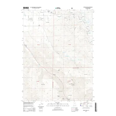
2014 Map of Center Creek
USGS Topo · Published 2014About this map
Heber Valley residential developments and mountain water management systems define this 2014 survey. High-elevation reservoirs such as Kenneth Anderson Reservoir, Lower Bennett Lindsay Reservoir, and Deer Valley Reservoir underscore the complex irrigation and storage networks required to support the growing communities below. The valley floor transitions into the protected slopes of the Uinta National Forest, where features like the Whiskey Spring Picnic Area and Hogsback Ridge mark the gateway to the rugged Wasatch terrain.
Find a feature on this map
73 named features on this map. Tap any name to fly to it.
Don’t see what you’re looking for? This feature index may not catch every label — zoom into the map to look around manually.
Map Details
Editions of this 2014 Center Creek Map
This is the sole edition of this map. No revisions or reprints were ever made.
Other maps of this area

1885 · Salt Lake
USGS Topo · 1:250,000

1900 · Coalville
USGS Topo · 1:125,000

1903 · Coalville
USGS Topo · 1:125,000

1907 · Strawberry Valley
USGS Topo · 1:125,000

1909 · Strawberry Valley
USGS Topo · 1:125,000

1954 · Salt Lake City
USGS Topo · 1:250,000

1955 · Heber
USGS Topo · 1:24,000

1958 · Salt Lake City
USGS Topo · 1:250,000

1960 · Salt Lake City
USGS Topo · 1:250,000
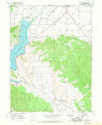
1966 · Charleston
USGS Topo · 1:24,000