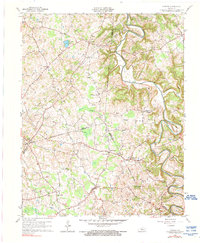
1961 Map of Center
USGS Topo · Published 1976About this map
Center and Crailhope serve as the primary social hubs for this rural landscape where Metcalfe, Hart, Barren, and Green counties converge. The topography is defined by the winding course of the Little Barren River, which carves deep meanders like Horseshoe Bend as it flows northward. This mid-century survey reflects an era of small-scale agriculture and early energy exploration, evidenced by numerous Gas Wells and scattered family farms. The interior is punctuated by landmarks such as Pilot Knob and the sizable Hundred Acre Pond, while the cultural landscape is anchored by a dense network of country churches and family burial grounds. Researchers will find numerous sites of genealogical interest, including Shady Grove Ch, Allens Grove Ch, and the Macedonia Ch Cem, which collectively illustrate the decentralized settlement patterns of south-central Kentucky.
Find a feature on this map
63 named features on this map. Tap any name to fly to it.
Don’t see what you’re looking for? This feature index may not catch every label — zoom into the map to look around manually.
Map Details
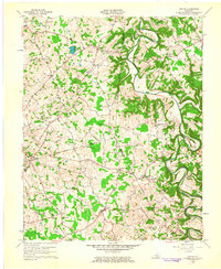
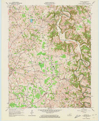
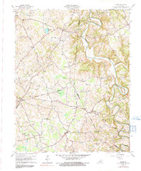
Editions of this 1961 Center Map
4 editions found
Other maps of this area

1934 · Munfordville
USGS Topo · 1:48,000

1935 · Horse Cave
USGS Topo · 1:48,000

1937 · Munfordville
USGS Topo · 1:62,500

1938 · Horse Cave
USGS Topo · 1:62,500

1953 · Sulphur Well
USGS Topo · 1:24,000

1953 · Hudgins
USGS Topo · 1:24,000

1953 · Summersville
USGS Topo · 1:24,000

1953 · Exie
USGS Topo · 1:24,000

1953 · Center
USGS Topo · 1:24,000

1953 · East Fork
USGS Topo · 1:24,000