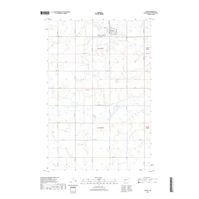
2017 Map of Center
USGS Topo · Published 2017About this map
Center serves as the focal point of this Oliver County landscape, situated at the intersection of a vast grid of section roads and small watercourses. The town plan is clearly defined by streets such as Lincoln Ave and Hazel Miner Ave, while the surrounding rural township is marked by the meandering paths of Square Butte Creek and Hagel Creek. These waterways provide the primary topographic relief in an area otherwise dominated by high-plains agricultural divisions.
Find a feature on this map
29 named features on this map. Tap any name to fly to it.
Don’t see what you’re looking for? This feature index may not catch every label — zoom into the map to look around manually.
Map Details
Editions of this 2017 Center Map
This is the sole edition of this map. No revisions or reprints were ever made.
Other maps of this area

1954 · Bismarck
USGS Topo · 1:250,000

1954 · McClusky
USGS Topo · 1:250,000

1958 · Bismarck
USGS Topo · 1:250,000

1958 · McClusky
USGS Topo · 1:250,000

1968 · Hannover NE
USGS Topo · 1:24,000

1968 · Fort Clark
USGS Topo · 1:24,000

1968 · Hannover NW
USGS Topo · 1:24,000

1970 · New Salem NW
USGS Topo · 1:24,000

1970 · New Salem NE
USGS Topo · 1:24,000

1972 · Center
USGS Topo · 1:24,000