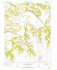
1959 Map of Center
USGS Topo · Published 1973About this map
The Salt River meanders through the heart of Ralls County, creating a deeply dissected landscape defined by numerous hollows and timbered ridges in the late 1950s. This survey, verified by State Geologist Thomas R. Beveridge, reveals a rural economy organized around small settlements and essential community hubs. The village of Center serves as a primary local center, while smaller communities like Spalding and Cincinnati anchor the surrounding townships of Saline, Clay, and Center.
Find a feature on this map
32 named features on this map. Tap any name to fly to it.
Don’t see what you’re looking for? This feature index may not catch every label — zoom into the map to look around manually.
Map Details
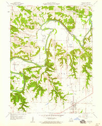
Editions of this 1959 Center Map
2 editions found
Other maps of this area

1890 · Louisiana
USGS Topo · 1:125,000

1890 · Mexico
USGS Topo · 1:125,000

1903 · Palmyra
USGS Topo · 1:125,000

1932 · Hannibal
USGS Topo · 1:62,500

1936 · Hannibal
USGS Topo · 1:48,000

1943 · Vandalia
USGS Topo · 1:62,500

1945 · Hannibal
USGS Topo · 1:62,500

1945 · Perry
USGS Topo · 1:62,500

1945 · Vandalia
USGS Topo · 1:62,500

1948 · Quincy
USGS Topo · 1:250,000