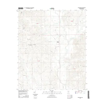
2015 Map of Center Ridge
USGS Topo · Published 2015About this map
Center Ridge sits within a landscape defined by the intricate drainage systems of the Leaf River and its many tributaries. This portion of Smith County features the small settlements of Bezer and Mineral Springs, connected by a network of county roads like MS-37 and Beaver Dam Rd. The topography is marked by significant features like Flat Rock Hill and several smaller water bodies, including Beaverdam Cr and West Tallahala Creek.
Find a feature on this map
63 named features on this map. Tap any name to fly to it.
Don’t see what you’re looking for? This feature index may not catch every label — zoom into the map to look around manually.
Map Details
Editions of this 2015 Center Ridge Map
This is the sole edition of this map. No revisions or reprints were ever made.
Other maps of this area

1953 · Hattiesburg
USGS Topo · 1:250,000

1953 · Meridian
USGS Topo · 1:250,000

1957 · Meridian
USGS Topo · 1:250,000

1958 · Hattiesburg
USGS Topo · 1:250,000

1965 · Meridian
USGS Topo · 1:250,000

1968 · Raleigh
USGS Topo · 1:24,000

1968 · Louin
USGS Topo · 1:24,000

1968 · Louin SW
USGS Topo · 1:24,000

1974 · Soso
USGS Topo · 1:24,000
1974 · Bay Springs
USGS Topo · 1:24,000