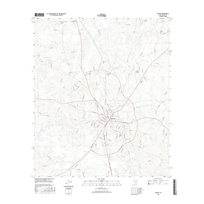
2016 Map of Center
USGS Topo · Published 2016About this map
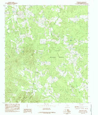
Center, Texas, serves as the hub of this East Texas survey, where a complex network of local roads and state highways converges in a radial pattern. The landscape is deeply etched by a dense hydrographic system including Chicken Bayou, Smith Cr, and Prairie Cr, illustrating the well-watered timberlands typical of Shelby County. A notable concentration of cemeteries, such as Oaklawn Cem and Prairie View Cem, surrounds the town center, suggesting a long-established rural community with many dispersed family and church burial grounds. The presence of the Center Municipal Airport and the development along Loop 500 reflect the mid-to-late 20th-century expansion of the city's infrastructure beyond its traditional downtown grid. This documentation provides a clear view of the transition between the urban core of Center and the surrounding agricultural tracts defined by family-named landmarks like Blunt Cem and Mull Cem.
Find a feature on this map
122 named features on this map. Tap any name to fly to it.
Don’t see what you’re looking for? This feature index may not catch every label — zoom into the map to look around manually.
Map Details
Editions of this 2016 Center Map
This is the sole edition of this map. No revisions or reprints were ever made.
Other maps of this area

1953 · Palestine
USGS Topo · 1:250,000

1957 · Palestine
USGS Topo · 1:250,000
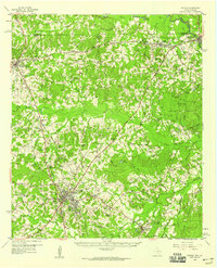
1958 · Center
USGS Topo · 1:62,500
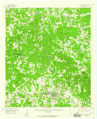
1958 · San Augustine
USGS Topo · 1:62,500
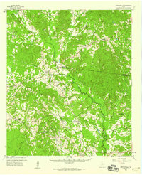
1958 · Martinsville
USGS Topo · 1:62,500
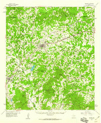
1958 · Timpson
USGS Topo · 1:62,500
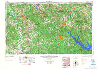
1984 · Palestine
USGS Topo · 1:250,000
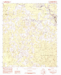
1984 · Logansport West
USGS Topo · 1:24,000
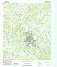
1984 · Center
USGS Topo · 1:24,000
1984 · Hurstown
USGS Topo · 1:24,000