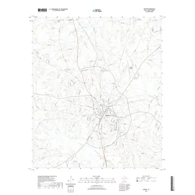
2019 Map of Center
USGS Topo · Published 2019About this map
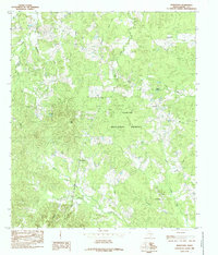
The town of Center serves as the focal point of this Shelby County landscape, showing the convergence of State Highway 7 and State Highway 87 amidst a complex network of county roads. The settlement pattern is characterized by numerous small family and community burial grounds, such as Oaklawn Cem and Prairie View Cem, which offer significant touchstones for genealogical research in east Texas. North of the city center, the terrain is defined by the winding course of Chicken Bayou and Plum Creek, while Center Municipal Airport marks the transition toward more open industrial and transportation land use. The density of sites like Asbury Chapel Cem and Pleasant Grove Cem suggests a long-established rural population rooted in the area's creeks and small timbered drainages, providing a detailed look at the local geography as it existed in the late 2010s.
Find a feature on this map
130 named features on this map. Tap any name to fly to it.
Don’t see what you’re looking for? This feature index may not catch every label — zoom into the map to look around manually.
Map Details
Editions of this 2019 Center Map
This is the sole edition of this map. No revisions or reprints were ever made.
Other maps of this area

1953 · Palestine
USGS Topo · 1:250,000

1957 · Palestine
USGS Topo · 1:250,000
1958 · Center
USGS Topo · 1:62,500
1958 · San Augustine
USGS Topo · 1:62,500
1958 · Martinsville
USGS Topo · 1:62,500
1958 · Timpson
USGS Topo · 1:62,500
1984 · Palestine
USGS Topo · 1:250,000
1984 · Logansport West
USGS Topo · 1:24,000
1984 · Center
USGS Topo · 1:24,000
1984 · Hurstown
USGS Topo · 1:24,000