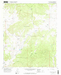
1965 Map of Centerfire Bog
USGS Topo · Published 1968About this map
Centerfire Bog sits at the heart of this high-elevation landscape in Catron County, where water resources define the human and natural geography of the mid-1960s. The map illustrates a high-desert range infrastructure within the Apache National Forest and Gila National Forest, marked by an extensive system of named stock tanks and wells. These include Honey Bee Well, Antelope Well, and Miner Well, alongside numerous tanks like East Camp Tank and Freeman Tank No 2.
Find a feature on this map
45 named features on this map. Tap any name to fly to it.
Don’t see what you’re looking for? This feature index may not catch every label — zoom into the map to look around manually.
Map Details
Editions of this 1965 Centerfire Bog Map
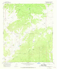
2 editions found
Other maps of this area

1915 · Reserve
USGS Topo · 1:125,000

1918 · Reserve
USGS Topo · 1:125,000

1954 · Clifton
USGS Topo · 1:250,000

1954 · Saint Johns
USGS Topo · 1:250,000

1957 · Clifton
USGS Topo · 1:250,000

1957 · Saint Johns
USGS Topo · 1:250,000

1958 · Clifton
USGS Topo · 1:250,000

1958 · Saint Johns
USGS Topo · 1:250,000

1962 · Clifton
USGS Topo · 1:250,000

1962 · Saint Johns
USGS Topo · 1:250,000