
1925 Map of Centerpoint
USGS Topo · Published 1925About this map
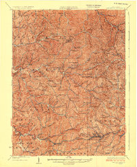
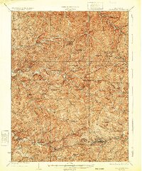
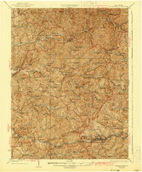
The hills of Doddridge, Wetzel, and Tyler counties are densely dotted with rural infrastructure in this 1925 record. The Baltimore and Ohio railroad corridor serves as the primary artery in the south, connecting Salem, Industrial, and Morgansville, while smaller stations like Braden Sta and Smithburg Sta anchor the line. The landscape is defined by an intricate network of ridge-and-hollow settlements, where nearly every drainage supports a named schoolhouse such as McMillen School or Oakland School.
Find a feature on this map
128 named features on this map. Tap any name to fly to it.
Don’t see what you’re looking for? This feature index may not catch every label — zoom into the map to look around manually.
Map Details
Editions of this 1925 Centerpoint Map
4 editions found
Other maps of this area

1902 · Clarksburg
USGS Topo · 1:62,500

1903 · Littleton
USGS Topo · 1:62,500

1904 · Weston
USGS Topo · 1:62,500

1904 · Vadis
USGS Topo · 1:62,500

1905 · Mannington
USGS Topo · 1:62,500

1905 · Centerpoint
USGS Topo · 1:62,500

1905 · West Union
USGS Topo · 1:62,500

1905 · Littleton
USGS Topo · 1:62,500

1906 · Holbrook
USGS Topo · 1:62,500

1906 · New Martinsville
USGS Topo · 1:62,500