Loading...
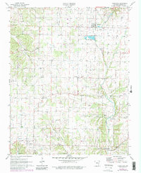
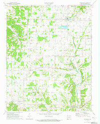
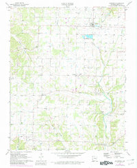
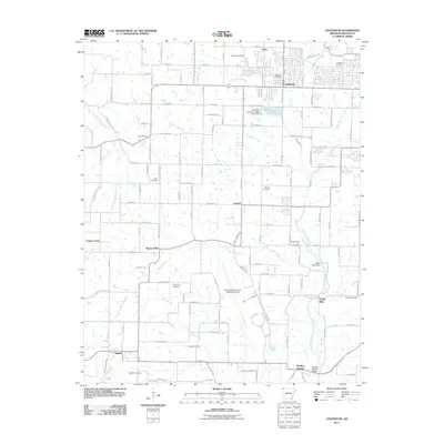
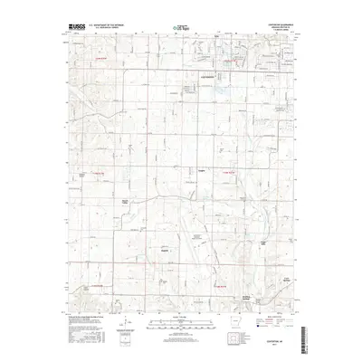
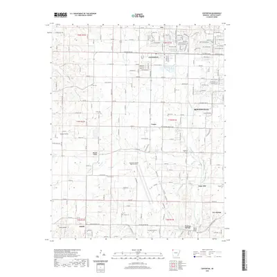
Loading map...1971 Map of Centerton
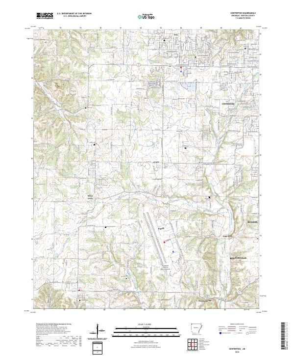
USGS Topo · Published 1982About this map
The Centerton State Fish Hatchery stands as a prominent geographic landmark in this region of Benton County, reflecting a landscape defined by its abundant water sources and small rural communities. The map detail highlights several named settlements, including Vaughn, Mason Valley, and the milling history at Osage Mills. The terrain is etched by the courses of Little Osage Creek, McKisic Creek, and Spavinaw Creek, which supported the early agricultural and industrial development of the area.
Find a feature on this map
28 named features on this map. Tap any name to fly to it.
Don’t see what you’re looking for? This feature index may not catch every label — zoom into the map to look around manually.
Map Details
Date Portrayed1971
Date Published1982
PublisherU.S. Geological Survey
Map TypeTopographic
Scale1:24,000
Physical Dimensions22 x 26.9 inches
Editions of this 1971 Centerton Map
3 editions found
Historical Maps of Rogers Through Time
6 maps found

Featured Locations
Source Details
SourceU.S. Geological Survey
CopyrightPublic Domain