Loading...
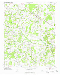
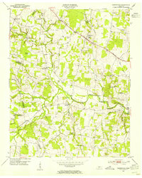
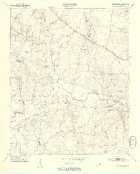
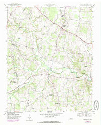
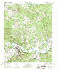
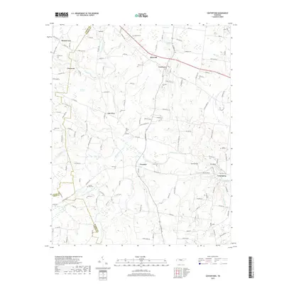
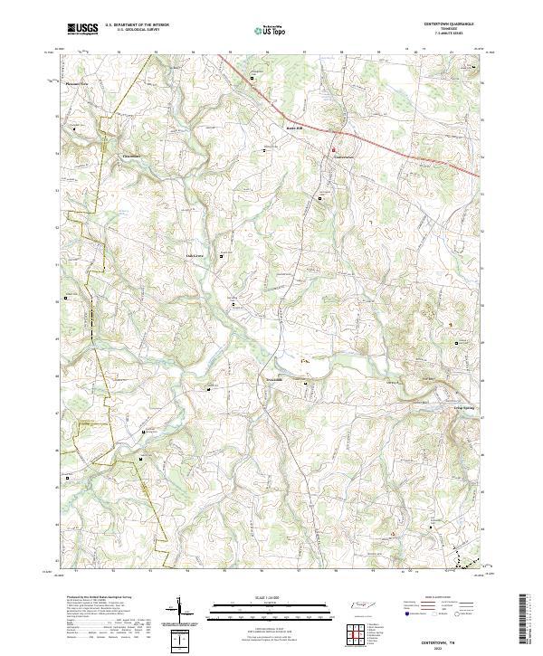
Loading map...1953 Map of Centertown
USGS Topo · Published 1977About this map
Broadway Of America cuts across the rural landscape of Warren and Cannon counties, serving as a primary corridor for this agricultural region during the early 1950s. The settlement of Centertown centers around its High Sch, while smaller communities like Trousdale and Oak Grove anchor the surrounding farmstead networks. This area is characterized by numerous family-named landmarks and local burial grounds, including Whitlock Cem, Harrington Cem, and Campbell Cem.
Find a feature on this map
57 named features on this map. Tap any name to fly to it.
Don’t see what you’re looking for? This feature index may not catch every label — zoom into the map to look around manually.
Map Details
Date Portrayed1953
Date Published1977
PublisherU.S. Geological Survey
Map TypeTopographic
Scale1:24,000
Physical Dimensions22 x 27.4 inches
Editions of this 1953 Centertown Map
4 editions found
Historical Maps of Centertown Through Time
7 maps found
Featured Locations
Source Details
SourceU.S. Geological Survey
CopyrightPublic Domain