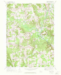
1967 Map of Centerville
USGS Topo · Published 1972About this map
Centerville and the surrounding townships of Athens, Steuben, and Troy are characterized by a network of crossroads settlements and small farm centers in the late 1960s. The landscape is defined by the winding course of Oil Creek and Muddy Creek, where the Penn Central rail line tracks the valley through Tryonville and Grays Mills Sta. Numerous family-named nodes such as Drake Corners, Whitman Corners, and Markley Corners suggest a long-standing pattern of rural landholding and local commerce. Large tracts of protected land, including State Game Lands No 122, indicate the shift toward conservation and recreation in Crawford County. For genealogists, the map is particularly useful for locating small country institutions like the East Troy Ch and Sunnyside Cem, along with remnants of earlier transportation like the Oil Creek Railroad Grade.
Find a feature on this map
64 named features on this map. Tap any name to fly to it.
Don’t see what you’re looking for? This feature index may not catch every label — zoom into the map to look around manually.
Map Details
Editions of this 1967 Centerville Map
2 editions found
Historical Maps of Centerville Through Time
14 maps found
1959 Beaver Center
Crawford County, PA
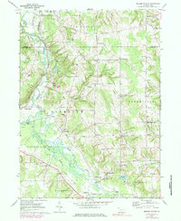
1967 Centerville
Crawford County, PA
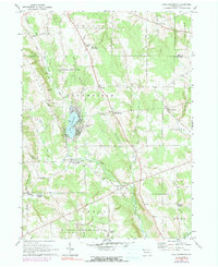
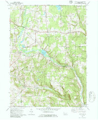
1967 Lake Canadohta
Crawford County, PA
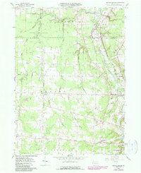
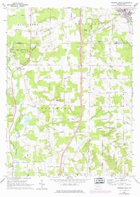
1967 Millers Station
Crawford County, PA
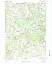
1967 Sugar Lake
Crawford County, PA
1968 Edinboro South
Crawford County, PA
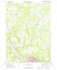
1968 Titusville North
Crawford County, PA
2023 Beaver Center
Crawford County, PA
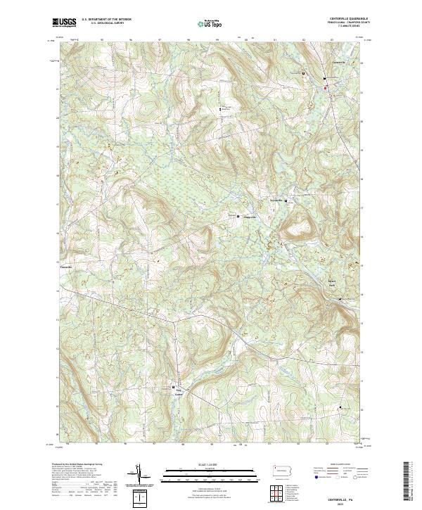
2023 Centerville
Crawford County, PA
2023 Edinboro South
Crawford County, PA
2023 Lake Canadohta
Crawford County, PA
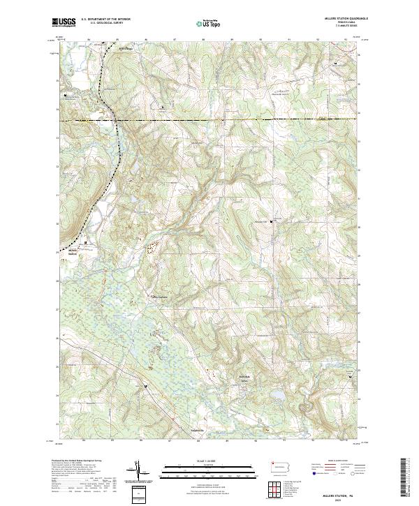
2023 Millers Station
Crawford County, PA
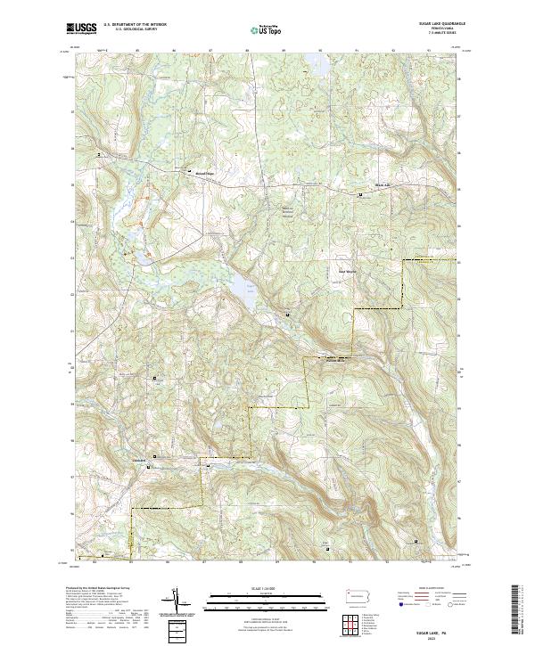
2023 Sugar Lake
Crawford County, PA
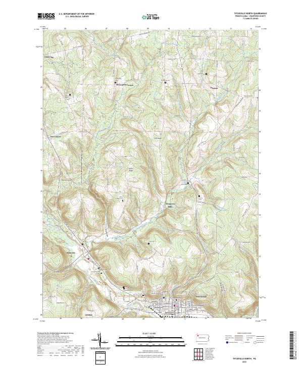
2023 Titusville North
Crawford County, PA
Featured Locations
- Centerville, PA
- McGinnet Corners, Athens Township
- Altenburg Corners, Troy Township
- Lonetot Corners, Troy Township
- Tryonville, Steuben Township