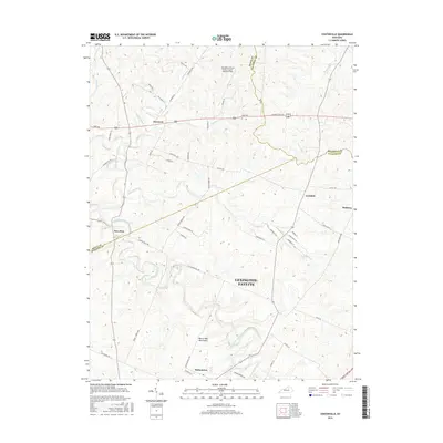
2016 Map of Centerville
USGS Topo · Published 2016About this map
The rolling Bluegrass country at the confluence of Scott, Bourbon, and Fayette counties centers on the rural communities of Newtown and New Zion. This 2016 record shows a landscape defined by its historic thoroughfares and thoroughbred heritage, with the Man-O-War Monument situated near the south-central border. The terrain is deeply carved by North Elkhorn Creek and its many tributaries, including Goose Creek and Cherry Run, which dictate the winding paths of local connectors like Lemons Mill Pike and Mount Horeb Pike.
Find a feature on this map
55 named features on this map. Tap any name to fly to it.
Don’t see what you’re looking for? This feature index may not catch every label — zoom into the map to look around manually.
Map Details
Editions of this 2016 Centerville Map
This is the sole edition of this map. No revisions or reprints were ever made.
Other maps of this area

1906 · Georgetown
USGS Topo · 1:62,500

1908 · Georgetown
USGS Topo · 1:62,500

1927 · Lexington
USGS Topo · 1:48,000

1929 · Cynthiana
USGS Topo · 1:48,000

1929 · Lexington
USGS Topo · 1:62,500

1934 · Cynthiana
USGS Topo · 1:62,500

1939 · Sadieville
USGS Topo · 1:62,500

1950 · Lexington East
USGS Topo · 1:24,000

1950 · Lexington West
USGS Topo · 1:24,000

1952 · Clintonville
USGS Topo · 1:24,000