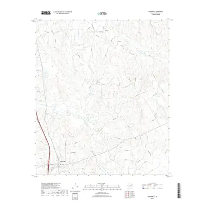
2019 Map of Centerville
USGS Topo · Published 2019About this map
Centerville serves as the focal point of this Leon County survey, situated at the intersection of major regional arteries including Hwy 75. The landscape is defined by an intricate network of waterways and drainage basins, most notably the wide, marshy expanse of Lower Keechi Cr which dominates the central terrain. Smaller tributaries such as Henry Thomas Br, Parks Br, and Pole Bridge Br carve through the wooded elevations, feeding into localized reservoirs like Cundiff Lake and Moore Lake. This modern record reveals a mix of established residential pockets like Hillside Acres Rd and rural access routes such as Brushy Cemetery Rd, reflecting the contemporary balance of small-town structure and the wilder creek bottoms of the Texas Post Oak Savannah.
Find a feature on this map
92 named features on this map. Tap any name to fly to it.
Don’t see what you’re looking for? This feature index may not catch every label — zoom into the map to look around manually.
Map Details
Editions of this 2019 Centerville Map
This is the sole edition of this map. No revisions or reprints were ever made.
Other maps of this area

1953 · Palestine
USGS Topo · 1:250,000

1954 · Waco
USGS Topo · 1:250,000

1955 · Waco
USGS Topo · 1:250,000
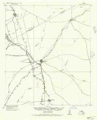
1956 · Jewett
USGS Topo · 1:62,500

1957 · Palestine
USGS Topo · 1:250,000
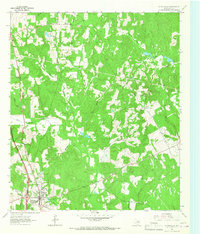
1964 · Centerville
USGS Topo · 1:24,000
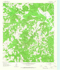
1964 · Flo
USGS Topo · 1:24,000
1964 · Spring Seat
USGS Topo · 1:24,000
1964 · Eunice
USGS Topo · 1:24,000
1964 · Middleton
USGS Topo · 1:24,000