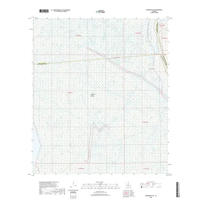
2018 Map of Centerville NE
USGS Topo · Published 2018About this map
Atchafalaya Basin Floodway dominates this low-lying landscape where the borders of Iberia, St. Martin, and Assumption Parishes converge. The terrain is defined by a dense labyrinth of water bodies, reflecting the intricate drainage and flood control systems of southern Louisiana. Major arteries like the Intracoastal Waterway and the Old River cut through a network of meandering streams, including Bayou Postillion and Bayou Long. This environment highlights the complex relationship between natural hydrology and engineering, as the region functions as a critical spillway and navigational corridor. Topographic details reveal how the land is segmented by varied forks such as West Fork Bayou Long and Middle Fork Bayou Long, illustrating the alluvial character of the basin before it meets the Gulf coast.
Find a feature on this map
24 named features on this map. Tap any name to fly to it.
Don’t see what you’re looking for? This feature index may not catch every label — zoom into the map to look around manually.
Map Details
Editions of this 2018 Centerville NE Map
This is the sole edition of this map. No revisions or reprints were ever made.
Other maps of this area

1935 · Chicot Lake
USGS Topo · 1:62,500

1936 · White Castle
USGS Topo · 1:62,500

1945 · New Orleans
USGS Topo · 1:250,000

1948 · Foster
USGS Topo · 1:62,500

1953 · Napoleonville
USGS Topo · 1:62,500

1954 · Chicot Lake
USGS Topo · 1:62,500

1954 · Baton Rouge
USGS Topo · 1:250,000
1955 · Chicot Lake
USGS Topo · 1:62,500

1956 · Baton Rouge
USGS Topo · 1:250,000

1959 · Foster
USGS Topo · 1:62,500