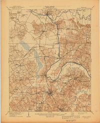
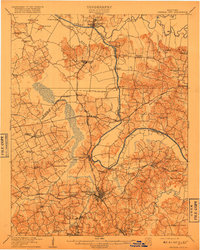
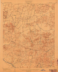
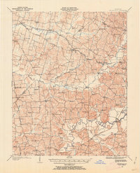
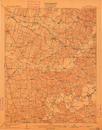
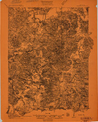
1909 Map of Central City
USGS Topo · Published 1944About this map
Green River and Rough River dominate the landscape of west-central Kentucky, defining the serpentine boundaries between Ohio, McLean, and Muhlenberg counties. The river-and-rail economy of the early 20th century is on full display here, as the Illinois Central and Louisville and Nashville railroads converge at industrial hubs like Central City and South Carrollton. Away from the tracks and riverbanks, the terrain is marked by a dense network of rural infrastructure, including dozens of country churches and schoolhouses such as Worthington Chapel and Nollsingers School.
Find a feature on this map
72 named features on this map. Tap any name to fly to it.
Don’t see what you’re looking for? This feature index may not catch every label — zoom into the map to look around manually.
Map Details
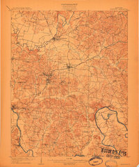
Editions of this 1909 Central City Map
3 editions found
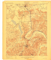
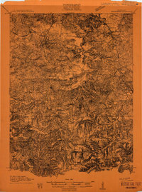
Other maps of this area
1906 · Sutherland
USGS Topo · 1:62,500
1907 · Whitesville
USGS Topo · 1:62,500

1908 · Calhoun
USGS Topo · 1:62,500
1909 · Whitesville
USGS Topo · 1:62,500

1909 · Madisonville
USGS Topo · 1:62,500
1909 · Hartford
USGS Topo · 1:62,500
1909 · Central City
USGS Topo · 1:62,500
1911 · Drakesboro
USGS Topo · 1:48,000
1911 · Dunmor
USGS Topo · 1:48,000
1912 · Nortonville
USGS Topo · 1:62,500