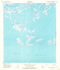
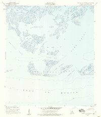
1953 Map of Central Isles Dernieres
USGS Topo · Published 1965About this map
Isles Dernieres stretches across this mid-century coastal survey, providing a detailed record of the barrier island chain before significant erosion and modern land-loss challenges. The map documents a complex aquatic environment where Pelican Lake and Lake Pelto meet the open waters of the Gulf of Mexico. The barrier system is punctuated by crucial tidal openings like Whiskey Pass and Coupe Nouvelle, which isolate Whiskey Island from the neighboring landmasses. Navigational markers such as a Light and a benchmark BM 2 assist in orienting this maritime landscape. While mostly uninhabited marsh and water, the presence of an Oil Well in the southern waters indicates the early footprint of the offshore energy industry that would come to define the economic character of the Terrebonne Parish coast in the decades following this 1953 survey.
Find a feature on this map
22 named features on this map. Tap any name to fly to it.
Don’t see what you’re looking for? This feature index may not catch every label — zoom into the map to look around manually.
Map Details
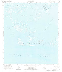
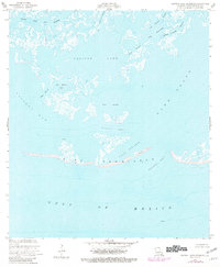
Editions of this 1953 Central Isles Dernieres Map
4 editions found
Other maps of this area

1935 · Cocodrie
USGS Topo · 1:31,680
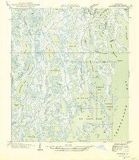
1945 · Cocodrie
USGS Topo · 1:31,680

1945 · New Orleans
USGS Topo · 1:250,000
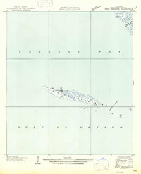
1947 · West Derniere
USGS Topo · 1:31,680

1949 · Grand Bayou Du Large
USGS Topo · 1:31,680
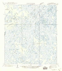
1949 · Dog Lake
USGS Topo · 1:31,680
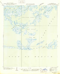
1950 · Derniere
USGS Topo · 1:31,680
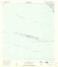
1953 · Western Isles Dernieres
USGS Topo · 1:24,000
1953 · Central Isles Dernieres
USGS Topo · 1:24,000
1953 · Dog Lake
USGS Topo · 1:24,000