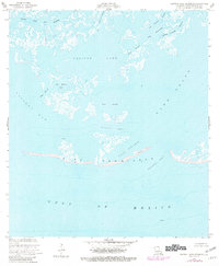
1953 Map of Central Isles Dernieres
USGS Topo · Published 1981About this map
Isles Dernieres stretches across the southern reach of this coastal survey, forming a thin, fragile barrier between the Gulf of Mexico and the inner marshlands. The landscape is defined by the transition from open water to complex estuarine systems, where massive basins like Pelican Lake and Lake Pelto are segmented by narrow channels and tidal inlets. The dynamic nature of the Terrebonne Parish coast is evident in the Coupe Nouvelle and the prominent Whiskey Pass separating the mainland marsh from Whiskey Island. While largely dominated by water and wetlands, the map records industrial footprints such as a lone Oil Well in the open Gulf and a Light marking the northern approach to the islands. This 1950s record, updated with 1978 aerial revisions, documents a coastline in constant flux, showing the intricate network of bayous including Pelican Bayou and Big Misale Bayou before decades of further erosion.
Find a feature on this map
22 named features on this map. Tap any name to fly to it.
Don’t see what you’re looking for? This feature index may not catch every label — zoom into the map to look around manually.
Map Details
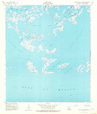
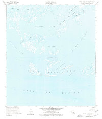
Editions of this 1953 Central Isles Dernieres Map
4 editions found
Other maps of this area

1935 · Cocodrie
USGS Topo · 1:31,680
1945 · Cocodrie
USGS Topo · 1:31,680

1945 · New Orleans
USGS Topo · 1:250,000
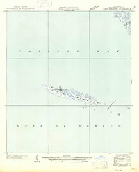
1947 · West Derniere
USGS Topo · 1:31,680

1949 · Grand Bayou Du Large
USGS Topo · 1:31,680
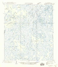
1949 · Dog Lake
USGS Topo · 1:31,680
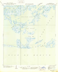
1950 · Derniere
USGS Topo · 1:31,680
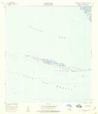
1953 · Western Isles Dernieres
USGS Topo · 1:24,000
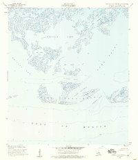
1953 · Central Isles Dernieres
USGS Topo · 1:24,000
1953 · Dog Lake
USGS Topo · 1:24,000