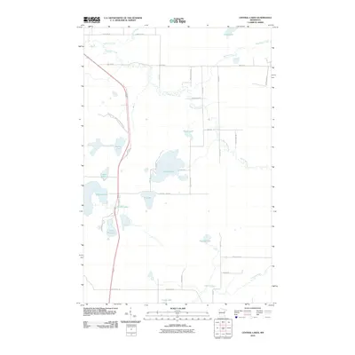
2010 Map of Central Lakes
USGS Topo · Published 2010About this map
The Saint Louis River and its meandering tributaries define this portion of the Iron Range region as it appeared in the early 21st century. The small settlement of Central Lakes sits along the corridor of Old Highway 53, serving as a focal point for a landscape dominated by water and low-lying wetlands. The hydrology is complex, featuring the upper reaches of the Paleface River and Mud Hen Creek, which wind through a mosaic of small lakes including Elliott Lake, Anchor Lake, and Lake Augusta. This era reflects the established recreational and residential patterns around these water bodies, connected by a network of local routes like Augusta Lake Rd and W Melrude Rd. The map illustrates a rural northern Minnesota environment where glacial topography has created numerous discrete basins, such as Fig Lake and Moilan Lake, which remain largely separated from the primary road grids.
Find a feature on this map
40 named features on this map. Tap any name to fly to it.
Don’t see what you’re looking for? This feature index may not catch every label — zoom into the map to look around manually.
Map Details
Editions of this 2010 Central Lakes Map
This is the sole edition of this map. No revisions or reprints were ever made.
Other maps of this area

1951 · Palo
USGS Topo · 1:24,000

1951 · Gilbert
USGS Topo · 1:24,000

1951 · Eveleth
USGS Topo · 1:24,000

1951 · Central Lakes
USGS Topo · 1:24,000

1951 · Zim
USGS Topo · 1:24,000

1951 · Makinen
USGS Topo · 1:24,000

1954 · Hibbing
USGS Topo · 1:250,000

1956 · Cotton
USGS Topo · 1:24,000

1956 · Whiteface
USGS Topo · 1:24,000

1957 · Hibbing
USGS Topo · 1:250,000