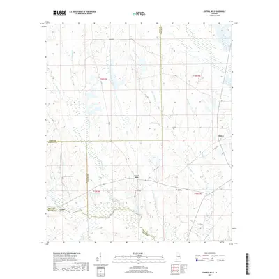
2018 Map of Central Mills
USGS Topo · Published 2018About this map
Central Mills serves as a central point in this rural landscape where the borders of Dallas, Marengo, Perry, and Wilcox counties converge. The area is defined by a dense network of waterways, including Chilatchee Creek and its tributary Little Chilatchee Cr, which carve through the terrain alongside family-named landmarks like Robert Cain Rd and Taylor Rd. These streams and man-made reservoirs like Sand Cr Lake Number One suggest a landscape historically tied to local agriculture and timber.
Find a feature on this map
42 named features on this map. Tap any name to fly to it.
Don’t see what you’re looking for? This feature index may not catch every label — zoom into the map to look around manually.
Map Details
Editions of this 2018 Central Mills Map
This is the sole edition of this map. No revisions or reprints were ever made.
Other maps of this area

1953 · Montgomery
USGS Topo · 1:250,000

1956 · Montgomery
USGS Topo · 1:250,000

1957 · Montgomery
USGS Topo · 1:250,000

1968 · Thomaston East
USGS Topo · 1:24,000

1968 · Uniontown West
USGS Topo · 1:24,000

1968 · Uniontown East
USGS Topo · 1:24,000

1968 · Browns
USGS Topo · 1:24,000

1968 · Safford
USGS Topo · 1:24,000

1968 · Central Mills
USGS Topo · 1:24,000

1974 · Crumptonia
USGS Topo · 1:24,000