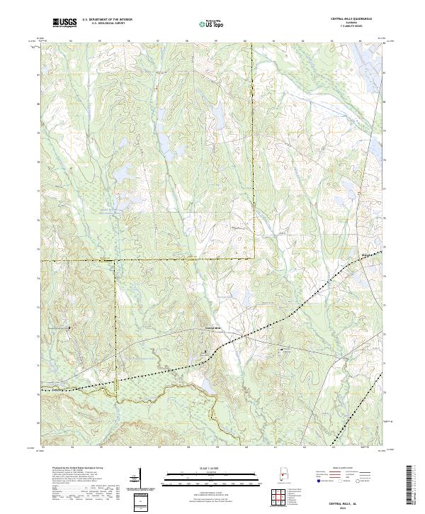
2024 Map of Central Mills
USGS Topo · Published 2024About this map
Central Mills and the surrounding river bottomlands define this portion of the Black Belt, where the borders of Dallas, Perry, Marengo, and Wilcox counties converge. The landscape is heavily influenced by a dense network of watercourses, including the winding paths of Chilatchee Creek and Little Chilatchee Creek. This drainage pattern supports several water bodies with local identifiers, such as Miller Brothers Lake Number Three and Bon Aire Lake. Small rural communities and historic gathering places are scattered throughout the quadrangle, notably Blalock and Carleys. For those tracing local heritage, the map identifies significant landmarks including Mount Zion Cem, New Bethel Springs Cem, and Christian Light Cem, which serve as vital points of reference for the family histories of this rural Alabama region.
Find a feature on this map
43 named features on this map. Tap any name to fly to it.
Don’t see what you’re looking for? This feature index may not catch every label — zoom into the map to look around manually.
Map Details
Editions of this 2024 Central Mills Map
This is the sole edition of this map. No revisions or reprints were ever made.
Other maps of this area

1953 · Montgomery
USGS Topo · 1:250,000

1956 · Montgomery
USGS Topo · 1:250,000

1957 · Montgomery
USGS Topo · 1:250,000

1968 · Thomaston East
USGS Topo · 1:24,000

1968 · Uniontown West
USGS Topo · 1:24,000

1968 · Uniontown East
USGS Topo · 1:24,000

1968 · Browns
USGS Topo · 1:24,000

1968 · Safford
USGS Topo · 1:24,000

1968 · Central Mills
USGS Topo · 1:24,000

1974 · Crumptonia
USGS Topo · 1:24,000