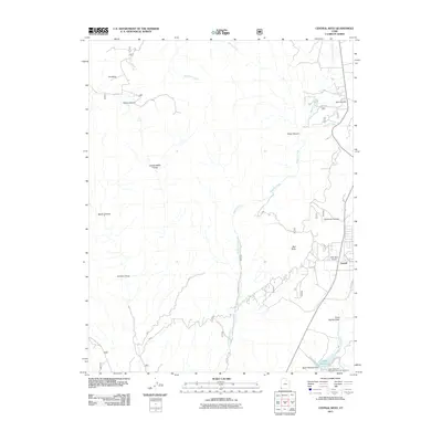
2011 Map of Central West
USGS Topo · Published 2011About this map
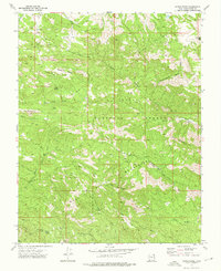
The high desert community of Central occupies the eastern edge of this landscape, situated near the headwaters of the Santa Clara River. The area’s water resources are clearly defined, featuring the Baker Reservoir and the Baker Reservoir Dam, which serve as a focal point for the Baker Reservoir Recreation Area Campground at the southern boundary. The topography is defined by a series of drainages and named hollows, including California Hollow and Hardscrabble Hollow, which feed into the prominent Magotsu Creek as it winds through the center of the quadrangle.
Find a feature on this map
29 named features on this map. Tap any name to fly to it.
Don’t see what you’re looking for? This feature index may not catch every label — zoom into the map to look around manually.
Map Details
Editions of this 2011 Central West Map
This is the sole edition of this map. No revisions or reprints were ever made.
Other maps of this area

1885 · St. George
USGS Topo · 1:250,000

1891 · St. George
USGS Topo · 1:250,000

1953 · Cedar City
USGS Topo · 1:250,000

1954 · Gunlock
USGS Topo · 1:24,000

1958 · Cedar City
USGS Topo · 1:250,000

1962 · Cedar City
USGS Topo · 1:250,000
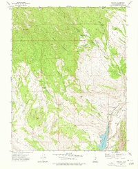
1972 · Gunlock
USGS Topo · 1:24,000
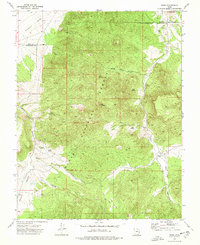
1972 · Pinto
USGS Topo · 1:24,000
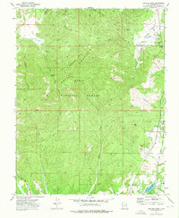
1972 · Central West
USGS Topo · 1:24,000
1972 · Maple Ridge
USGS Topo · 1:24,000