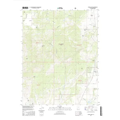
2017 Map of Central West
USGS Topo · Published 2017About this map
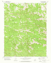
Mountain Meadows Massacre Memorial stands as a significant historical landmark within this portion of the Dixie National Forest. This high-altitude landscape is defined by the headwaters of the Santa Clara River and Magotsu Creek, where the rugged canyon topography of Deep Canyon and Valley Canyon meets the open reaches of Ox Valley. The settlement of Central occupies the southeastern corner, supported by the Central Cem and proximity to Baker Reservoir.
Find a feature on this map
55 named features on this map. Tap any name to fly to it.
Don’t see what you’re looking for? This feature index may not catch every label — zoom into the map to look around manually.
Map Details
Editions of this 2017 Central West Map
This is the sole edition of this map. No revisions or reprints were ever made.
Other maps of this area

1885 · St. George
USGS Topo · 1:250,000

1891 · St. George
USGS Topo · 1:250,000

1953 · Cedar City
USGS Topo · 1:250,000

1954 · Gunlock
USGS Topo · 1:24,000

1958 · Cedar City
USGS Topo · 1:250,000

1962 · Cedar City
USGS Topo · 1:250,000
1972 · Gunlock
USGS Topo · 1:24,000
1972 · Pinto
USGS Topo · 1:24,000
1972 · Central West
USGS Topo · 1:24,000
1972 · Maple Ridge
USGS Topo · 1:24,000