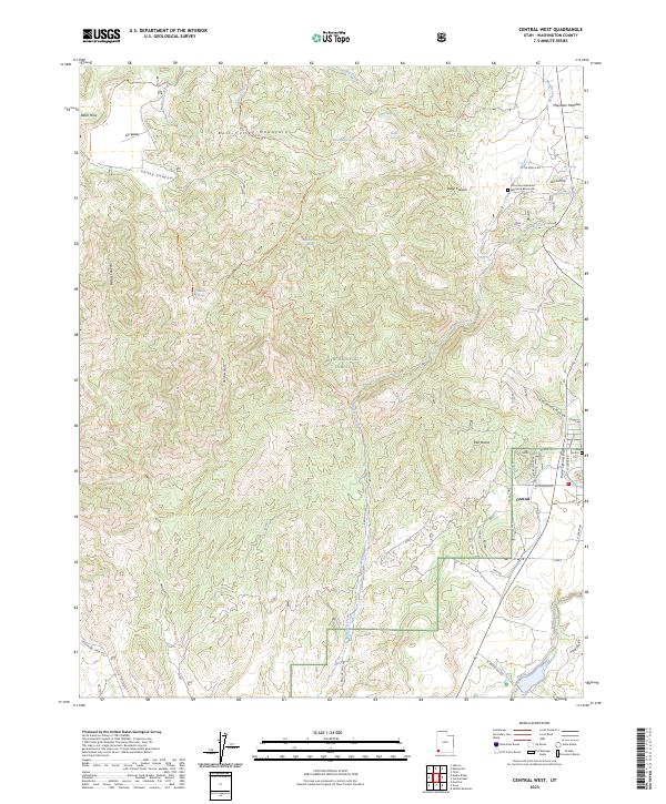
2023 Map of Central West
USGS Topo · Published 2023About this map
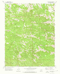
The Mountain Meadows Massacre Memorial stands in the northeastern corner of this study, marking a significant site of religious and regional conflict within the landscape of Mountain Meadow. This high-altitude terrain is dominated by the Bull Valley Mountains and the northern reaches of the Dixie National Forest, where the headwaters of the Santa Clara River and Magotsu Creek begin their descent. The small settlement of Central serves as the primary hub in the southeast, situated near the Central Cem and the junction of local routes like Lytle Ranch Rd.
Find a feature on this map
54 named features on this map. Tap any name to fly to it.
Don’t see what you’re looking for? This feature index may not catch every label — zoom into the map to look around manually.
Map Details
Editions of this 2023 Central West Map
This is the sole edition of this map. No revisions or reprints were ever made.
Other maps of this area

1885 · St. George
USGS Topo · 1:250,000

1891 · St. George
USGS Topo · 1:250,000

1953 · Cedar City
USGS Topo · 1:250,000

1954 · Gunlock
USGS Topo · 1:24,000

1958 · Cedar City
USGS Topo · 1:250,000

1962 · Cedar City
USGS Topo · 1:250,000
1972 · Gunlock
USGS Topo · 1:24,000
1972 · Pinto
USGS Topo · 1:24,000
1972 · Central West
USGS Topo · 1:24,000
1972 · Maple Ridge
USGS Topo · 1:24,000