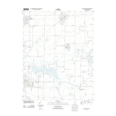
2012 Map of Centralia East
USGS Topo · Published 2012About this map
Raccoon Lake dominates the central landscape of this Marion County quadrangle, where the local economy and geography are defined by a mix of agriculture and energy extraction. The presence of the Raccoon Lake Oil Field and the Salem Consolidation Oil Field indicates the subsurface importance of the region alongside the surface farming at Schwartz Farms. Settlement is concentrated in the northern villages of Sandoval and Odin, which serve as historic transport hubs near the crossing of multiple regional roads.
Find a feature on this map
167 named features on this map. Tap any name to fly to it.
Don’t see what you’re looking for? This feature index may not catch every label — zoom into the map to look around manually.
Map Details
Editions of this 2012 Centralia East Map
This is the sole edition of this map. No revisions or reprints were ever made.
Other maps of this area

1914 · Centralia
USGS Topo · 1:62,500

1933 · Mount Vernon
USGS Topo · 1:48,000

1934 · Salem
USGS Topo · 1:62,500

1935 · Centralia
USGS Topo · 1:62,500

1938 · Salem
USGS Topo · 1:62,500

1940 · Mount Vernon
USGS Topo · 1:62,500

1943 · Ashley
USGS Topo · 1:62,500

1946 · Ashley
USGS Topo · 1:62,500

1958 · Belleville
USGS Topo · 1:250,000

1962 · Belleville
USGS Topo · 1:250,000