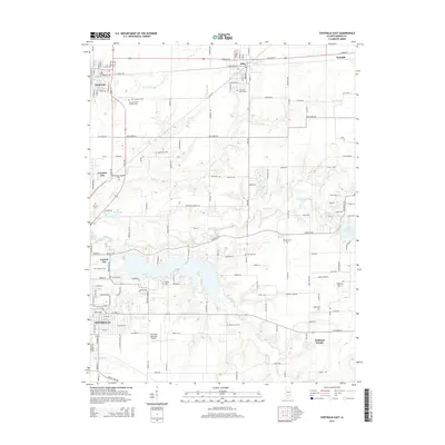
2015 Map of Centralia East
USGS Topo · Published 2015About this map
Centralia and its surrounding townships show a landscape deeply shaped by transportation and water management in this 2015 record. The eastern outskirts of the city are defined by the Centralia Municipal Airport and the sprawling waters of Lake Centralia, which dominates the eastern half of the map. The area's cemetery network is unusually dense, featuring sites like Saint Lawrence Catholic Cem and Peaceful Valley Cem, alongside smaller family plots such as Snyder Cem and Ennis Cem.
Find a feature on this map
92 named features on this map. Tap any name to fly to it.
Don’t see what you’re looking for? This feature index may not catch every label — zoom into the map to look around manually.
Map Details
Editions of this 2015 Centralia East Map
This is the sole edition of this map. No revisions or reprints were ever made.
Other maps of this area

1914 · Centralia
USGS Topo · 1:62,500

1933 · Mount Vernon
USGS Topo · 1:48,000

1934 · Salem
USGS Topo · 1:62,500

1935 · Centralia
USGS Topo · 1:62,500

1938 · Salem
USGS Topo · 1:62,500

1940 · Mount Vernon
USGS Topo · 1:62,500

1943 · Ashley
USGS Topo · 1:62,500

1946 · Ashley
USGS Topo · 1:62,500

1958 · Belleville
USGS Topo · 1:250,000

1962 · Belleville
USGS Topo · 1:250,000