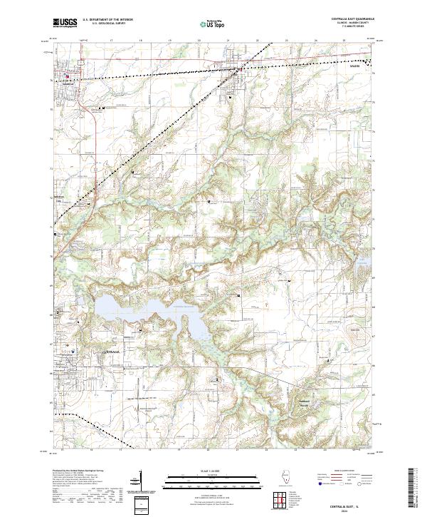
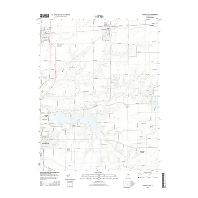
2024 Map of Centralia East
USGS Topo · Published 2024About this map
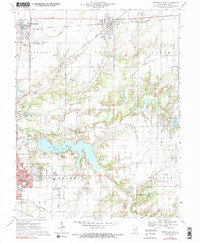
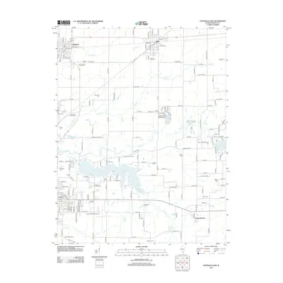
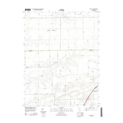
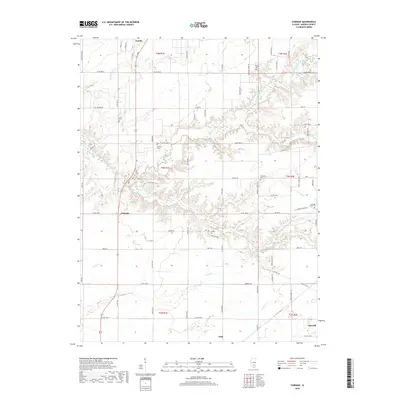
Centralia and its surrounding Marion County communities are defined by a complex network of water and transit infrastructure. This modern 2024 survey documents the expansive Centralia Reservoir and Lake Centralia, which dominate the central and eastern landscape, alongside the winding course of Crooked Creek and Raccoon Creek. The settlement pattern follows the established corridors of the BNSF Railway and CSX Transportation, connecting Sandoval and Odin in the north to the industrial and educational hubs like the Crisp Technology Center and Centralia Municipal Airport further south.
Find a feature on this map
167 named features on this map. Tap any name to fly to it.
Don’t see what you’re looking for? This feature index may not catch every label — zoom into the map to look around manually.
Map Details
Editions of this 2024 Centralia East Map
This is the sole edition of this map. No revisions or reprints were ever made.
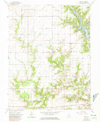
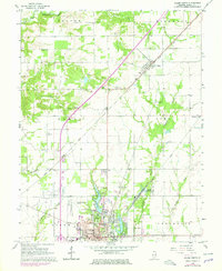
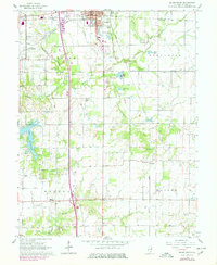
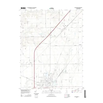
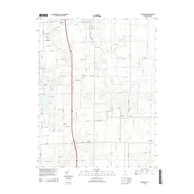
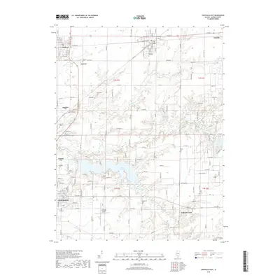
Historical Maps of Centralia Through Time
36 maps found
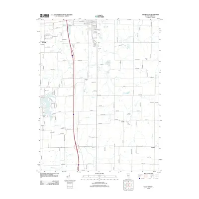
1965 Omega
Marion County, IL
1965 Salem North
Marion County, IL
1965 Salem South
Marion County, IL
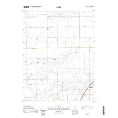
1970 Centralia East
Marion County, IL
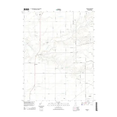
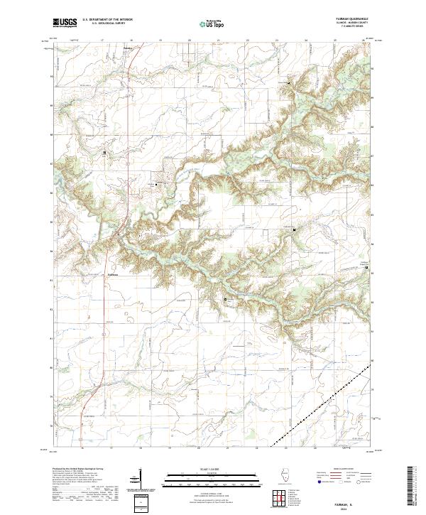
1970 Fairman
Marion County, IL
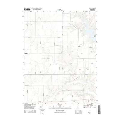
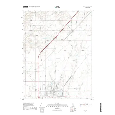
1985 St. Paul
Marion County, IL
2012 Centralia East
Marion County, IL
2012 Fairman
Marion County, IL
2012 Omega
Marion County, IL
2012 Saint Paul
Marion County, IL
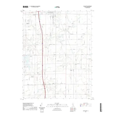
2012 Salem North
Marion County, IL
2012 Salem South
Marion County, IL
2015 Centralia East
Marion County, IL
2015 Fairman
Marion County, IL
2015 Omega
Marion County, IL
2015 Saint Paul
Marion County, IL
2015 Salem North
Marion County, IL
2015 Salem South
Marion County, IL
2018 Centralia East
Marion County, IL
2018 Fairman
Marion County, IL
2018 Omega
Marion County, IL
2018 Saint Paul
Marion County, IL
2018 Salem North
Marion County, IL
2018 Salem South
Marion County, IL
2021 Centralia East
Marion County, IL
2021 Fairman
Marion County, IL
2021 Omega
Marion County, IL
2021 Saint Paul
Marion County, IL
2021 Salem North
Marion County, IL
2021 Salem South
Marion County, IL
2024 Centralia East
Marion County, IL
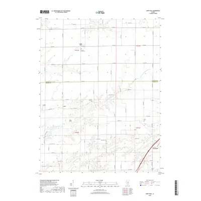
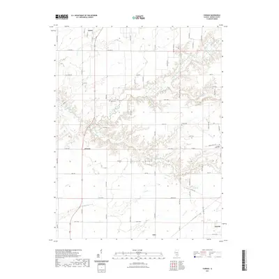
2024 Fairman
Marion County, IL
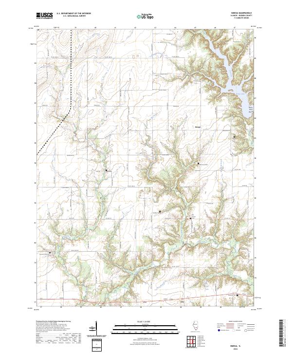
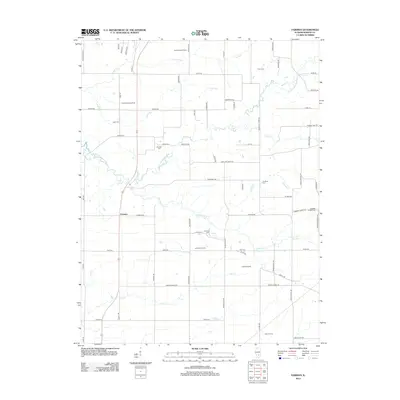
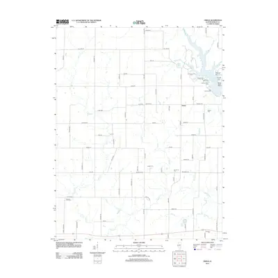
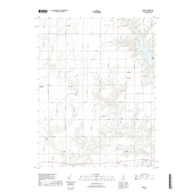
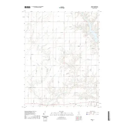
2024 Omega
Marion County, IL
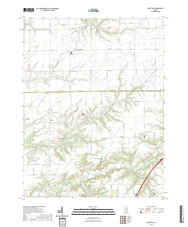
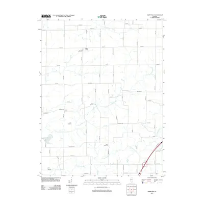
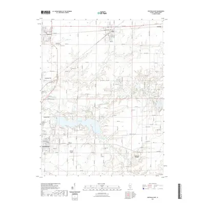
2024 Saint Paul
Marion County, IL
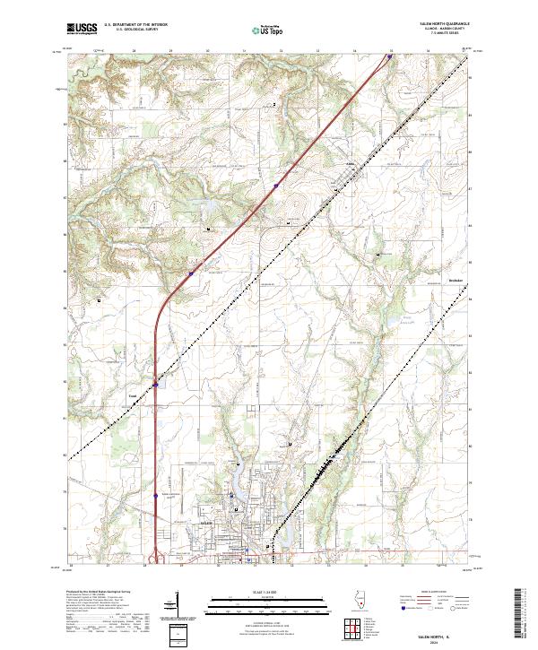
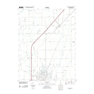
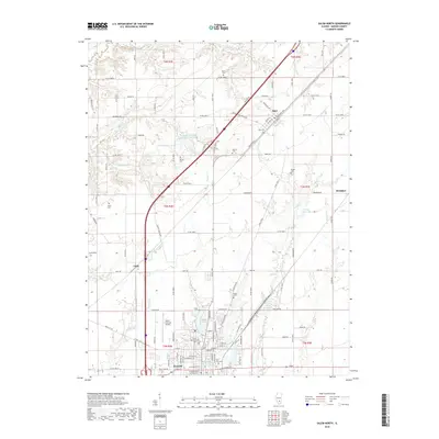
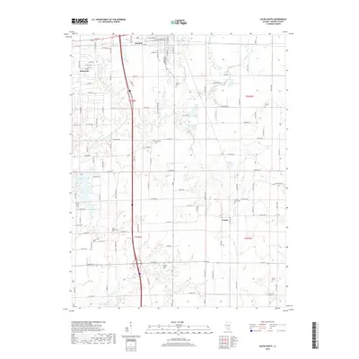
2024 Salem North
Marion County, IL
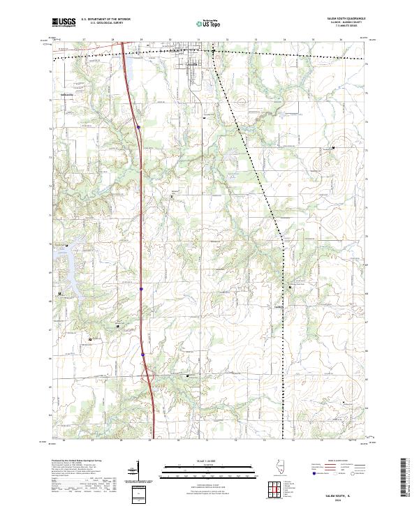
2024 Salem South
Marion County, IL