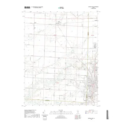
2018 Map of Centralia West
USGS Topo · Published 2018About this map
Centralia and its neighboring communities of Central City, Wamac, and Junction City form a dense cluster of development at the intersection of Marion, Clinton, and Washington counties. This map captures the intricate street grids of these southern Illinois settlements as they transition into the agricultural plains and wooded creek bottoms to the west. A heavy concentration of burial sites, including Mount Evergreen Cem and the Bethlehem Lutheran Cem, provides significant genealogical value for the region. The landscape is defined by the winding course of Crooked Creek and its tributaries like Sewer Cr and Prairie Cr, which carve through the farmland. Higher education is anchored by Kaskaskia College north of the city, while outlying hamlets like Shattuc, Ferrin, and Sandoval mark the rural reaches of the quadrangle.
Find a feature on this map
84 named features on this map. Tap any name to fly to it.
Don’t see what you’re looking for? This feature index may not catch every label — zoom into the map to look around manually.
Map Details
Editions of this 2018 Centralia West Map
This is the sole edition of this map. No revisions or reprints were ever made.
Other maps of this area

1910 · Carlyle
USGS Topo · 1:62,500

1914 · Centralia
USGS Topo · 1:62,500

1931 · Hoyleton
USGS Topo · 1:48,000

1932 · Nashville
USGS Topo · 1:62,500

1935 · Centralia
USGS Topo · 1:62,500

1936 · Nashville
USGS Topo · 1:62,500

1943 · Ashley
USGS Topo · 1:62,500

1946 · Ashley
USGS Topo · 1:62,500

1948 · Carlyle
USGS Topo · 1:62,500

1958 · Belleville
USGS Topo · 1:250,000