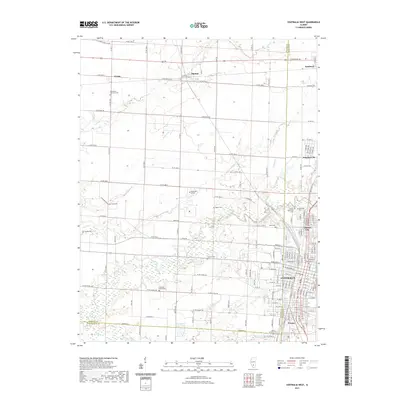
2021 Map of Centralia West
USGS Topo · Published 2021About this map
Centralia and the surrounding borderlands of Marion, Clinton, and Washington counties are defined by a mix of dense municipal grids and expansive agricultural tracts. This 2021 survey shows the urban interface where the city meets smaller communities like Central City, Wamac, and Junction City. Genealogy researchers will find significant data in the numerous burial sites across the landscape, ranging from the Bethlehem Lutheran Cem near Ferrin to the isolated Garrison Graveyard further south. The drainage patterns of Crooked Creek and Prairie Cr weave through the township, influencing the placement of early routes such as Sand Ridge Rd. Modern educational infrastructure is anchored by Kaskaskia College, situated between the rural crossroads of Shattuc and the main population centers, illustrating the continued development of this Southern Illinois hub.
Find a feature on this map
75 named features on this map. Tap any name to fly to it.
Don’t see what you’re looking for? This feature index may not catch every label — zoom into the map to look around manually.
Map Details
Editions of this 2021 Centralia West Map
This is the sole edition of this map. No revisions or reprints were ever made.
Other maps of this area

1910 · Carlyle
USGS Topo · 1:62,500

1914 · Centralia
USGS Topo · 1:62,500

1931 · Hoyleton
USGS Topo · 1:48,000

1932 · Nashville
USGS Topo · 1:62,500

1935 · Centralia
USGS Topo · 1:62,500

1936 · Nashville
USGS Topo · 1:62,500

1943 · Ashley
USGS Topo · 1:62,500

1946 · Ashley
USGS Topo · 1:62,500

1948 · Carlyle
USGS Topo · 1:62,500

1958 · Belleville
USGS Topo · 1:250,000