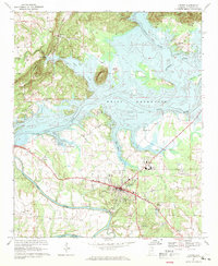
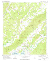
1967 Map of Centre
USGS Topo · Published 1969About this map
Centre serves as the hub of this 1960s survey, surrounded by a complex landscape of river valleys and new reservoirs. The rising waters of Weiss Reservoir define the northern and western reaches of the quadrangle, altering the traditional flow of the Coosa River, Chattooga River, and Little River. The town itself is marked by essential civic landmarks including the County High Sch, Hatcher High Sch, and the County Hospital, alongside the Centre Municipal Airport.
Find a feature on this map
42 named features on this map. Tap any name to fly to it.
Don’t see what you’re looking for? This feature index may not catch every label — zoom into the map to look around manually.
Map Details
Editions of this 1967 Centre Map
3 editions found
Other maps of this area

1893 · Fort Payne
USGS Topo · 1:125,000

1898 · Fort Payne
USGS Topo · 1:125,000

1900 · Fort Payne
USGS Topo · 1:125,000

1946 · Portersville
USGS Topo · 1:24,000
1947 · Portersville
USGS Topo · 1:24,000

1955 · Rome
USGS Topo · 1:250,000

1958 · Rome
USGS Topo · 1:250,000

1961 · Rome
USGS Topo · 1:250,000

1963 · Rome
USGS Topo · 1:250,000
1967 · Gaylesville
USGS Topo · 1:24,000