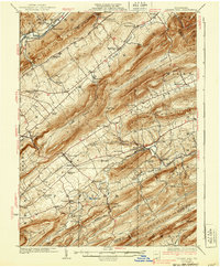
1929 Map of Centre Hall
USGS Topo · Published 1939About this map
Bald Eagle Mountain and the parallel ridges of the Seven Mountains dominate this central Pennsylvania landscape, defining the agricultural corridors of Nittany Valley and Brush Valley. The region is marked by a dense network of early 20th-century rural schools, including the Tussey Sink School and Pine Stump School, alongside the distinctive geologic attraction at Penn Cave. The settlement at Centre Hall serves as a central hub, while smaller hamlets like Potter Mills and Farmers Mills reflect a local economy historically tied to water power, as seen at the Red Mill along Sinking Creek. The intricate terrain of gaps and knobs, such as Logan Gap and Crissman Knob, controlled early transportation routes, including the paths of the Pennsylvania railroad and the various state highways connecting the valley communities.
Find a feature on this map
80 named features on this map. Tap any name to fly to it.
Don’t see what you’re looking for? This feature index may not catch every label — zoom into the map to look around manually.
Map Details
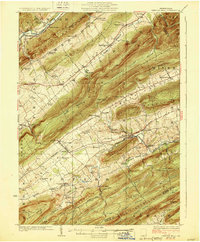
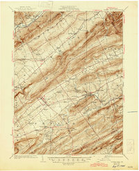
Editions of this 1929 Centre Hall Map
4 editions found

Other maps of this area

1908 · Bellefonte
USGS Topo · 1:62,500

1909 · Bellefonte
USGS Topo · 1:62,500

1919 · Menno
USGS Topo · 1:62,500

1921 · Howard
USGS Topo · 1:48,000

1921 · Lock Haven
USGS Topo · 1:62,500

1923 · Howard
USGS Topo · 1:62,500

1923 · Lock Haven
USGS Topo · 1:62,500

1924 · Centre Hall
USGS Topo · 1:62,500

1924 · Lewistown
USGS Topo · 1:62,500

1925 · Mifflintown
USGS Topo · 1:48,000