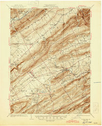
1929 Map of Centre Hall
USGS Topo · Published 1945About this map
The agricultural valleys of Central Pennsylvania are defined here by a series of parallel ridges, including Nittany Mountain and Brush Mountain, which separate pockets of settlement like Spring Mills and Potter Mills. In the late 1920s, this landscape was a network of small farming communities and country schools such as the Logan School and Earlytown School. The Pennsylvania RR threads through the lowlands, connecting the borough of Centre Hall to the broader regional economy. Notable landmarks like the Penn Cave and Penn Hall highlight the area's geological and local prominence, while industrial sites like Red Mill reflect the milling history along Sinking Creek. The presence of numerous family-named schools and small hamlets like Tusseyville and Farmers Mills provides a detailed view of rural life before mid-century modernization.
Find a feature on this map
91 named features on this map. Tap any name to fly to it.
Don’t see what you’re looking for? This feature index may not catch every label — zoom into the map to look around manually.
Map Details
Editions of this 1929 Centre Hall Map
4 editions found

Other maps of this area

1908 · Bellefonte
USGS Topo · 1:62,500

1909 · Bellefonte
USGS Topo · 1:62,500

1919 · Menno
USGS Topo · 1:62,500

1921 · Howard
USGS Topo · 1:48,000

1921 · Lock Haven
USGS Topo · 1:62,500

1923 · Howard
USGS Topo · 1:62,500

1923 · Lock Haven
USGS Topo · 1:62,500

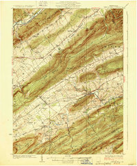
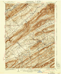
1924 · Centre Hall
USGS Topo · 1:62,500

1924 · Lewistown
USGS Topo · 1:62,500

1925 · Mifflintown
USGS Topo · 1:48,000