
1929 Map of Centre Hall
USGS Topo · Published 1929About this map
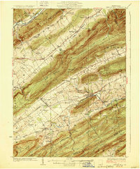
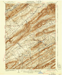
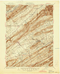
The ridge-and-valley landscape of central Pennsylvania is captured here in the mid-1920s, dominated by the long parallel runs of Nittany Mountain and Brush Mountain. At the heart of the valley floor, Centre Hall and Old Fort serve as hubs for a dense network of rural schools and family-named landmarks. The map documents an era of small-scale water-powered industry and unique geological features, notably the Penn Cave and mill sites like Farmers Mills and Red Mill situated along the winding paths of Sinking Creek.
Find a feature on this map
89 named features on this map. Tap any name to fly to it.
Don’t see what you’re looking for? This feature index may not catch every label — zoom into the map to look around manually.
Map Details
Editions of this 1929 Centre Hall Map
4 editions found
Other maps of this area

1908 · Bellefonte
USGS Topo · 1:62,500

1909 · Bellefonte
USGS Topo · 1:62,500

1919 · Menno
USGS Topo · 1:62,500

1921 · Howard
USGS Topo · 1:48,000

1921 · Lock Haven
USGS Topo · 1:62,500

1923 · Howard
USGS Topo · 1:62,500

1923 · Lock Haven
USGS Topo · 1:62,500

1924 · Centre Hall
USGS Topo · 1:62,500

1924 · Lewistown
USGS Topo · 1:62,500

1925 · Mifflintown
USGS Topo · 1:48,000