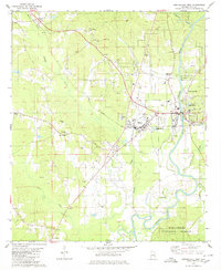
1980 Map of Centreville West
USGS Topo · Published 1980About this map
The Cahaba River winds through this section of Bibb County, marking a landscape defined by the intersection of the Illinois Central Gulf railroad and several small rural communities. The map captures Centreville and Brent during a period of steady growth, showing the concentration of civic life around the Radio Tower (WBIB) and the local sewage infrastructure. This area serves as a gateway to the Talladega National Forest, which dominates the southeastern quadrant.
Find a feature on this map
36 named features on this map. Tap any name to fly to it.
Don’t see what you’re looking for? This feature index may not catch every label — zoom into the map to look around manually.
Map Details
Editions of this 1980 Centreville West Map
2 editions found
Other maps of this area

1899 · Brookwood
USGS Topo · 1:125,000
1931 · Cottondale
USGS Topo · 1:48,000
1934 · Cottondale
USGS Topo · 1:62,500
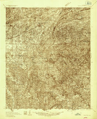
1934 · Blocton
USGS Topo · 1:48,000
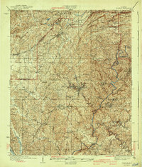
1940 · Blocton
USGS Topo · 1:62,500

1953 · Montgomery
USGS Topo · 1:250,000

1953 · Birmingham
USGS Topo · 1:250,000

1956 · Birmingham
USGS Topo · 1:250,000

1956 · Montgomery
USGS Topo · 1:250,000

1957 · Birmingham
USGS Topo · 1:250,000