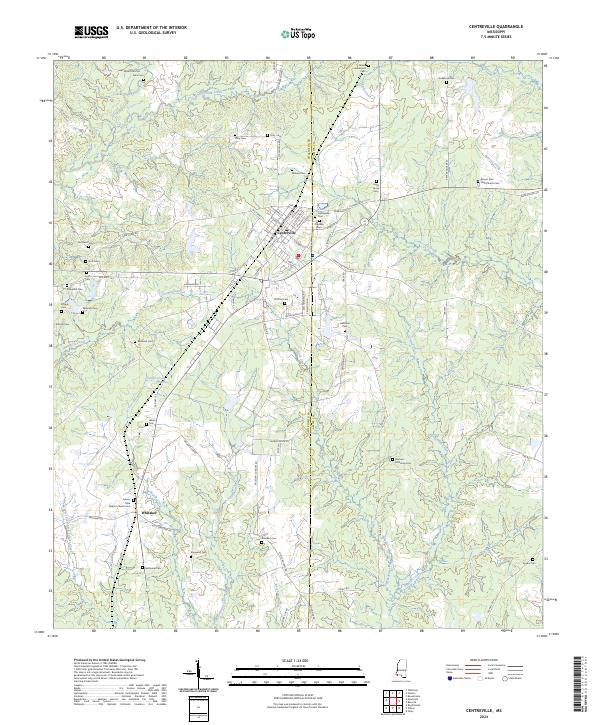
2024 Map of Centreville
USGS Topo · Published 2024About this map
Centreville sits as a central hub on this landscape, straddling the line between Wilkinson and Amite counties. The settlement's street grid, including N Gordon St and Cherokee St, anchors a territory defined by a remarkable density of family and community burial grounds. These sites, such as Macedonia Cem, James Anderson Cem, and Winans Cem, indicate deep-rooted genealogical heritage and a long history of rural land ownership. To the south, the smaller community of Whitaker is marked by the Mount Olive Baptist Church, providing a secondary anchor for local history research.
Find a feature on this map
90 named features on this map. Tap any name to fly to it.
Don’t see what you’re looking for? This feature index may not catch every label — zoom into the map to look around manually.
Map Details
Editions of this 2024 Centreville Map
This is the sole edition of this map. No revisions or reprints were ever made.
Other maps of this area

1906 · Bayou Sara
USGS Topo · 1:125,000

1941 · Woodland
USGS Topo · 1:31,680

1941 · Norwood
USGS Topo · 1:31,680

1941 · Lost Creek
USGS Topo · 1:31,680

1945 · Norwood
USGS Topo · 1:31,680

1945 · Lost Creek
USGS Topo · 1:31,680

1953 · Natchez
USGS Topo · 1:250,000

1954 · Baton Rouge
USGS Topo · 1:250,000

1956 · Natchez
USGS Topo · 1:250,000

1956 · Baton Rouge
USGS Topo · 1:250,000