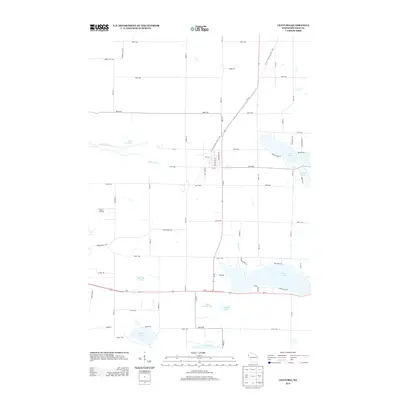
2013 Map of Centuria
USGS Topo · Published 2013About this map
Deer Lake and its surrounding water bodies dominate this portion of Polk County, illustrating a landscape defined by glacial depressions and contemporary rural infrastructure. The map shows a transition from agricultural acreage to recreationally significant shorelines, particularly around Long Lake and the interconnected drainage of Big Rock Cr and Rock Cr. Aviation history is represented by the Flying J Airport located west of the main residential clusters. A dense grid of county roads and avenues, such as Fairgrounds Rd and 200th Ave, provides a framework for the scattered homesteads and woodland tracts of this northwestern Wisconsin region. Local landmarks like Poplar Lake and Barneys Lake reflect the area's geological character, where small lakes and marshes serve as focal points for local property boundaries and community development.
Find a feature on this map
61 named features on this map. Tap any name to fly to it.
Don’t see what you’re looking for? This feature index may not catch every label — zoom into the map to look around manually.
Map Details
Editions of this 2013 Centuria Map
This is the sole edition of this map. No revisions or reprints were ever made.
Other maps of this area

1900 · St Croix Dalles
USGS Topo · 1:62,500

1901 · St Croix Dalles
USGS Topo · 1:62,500

1950 · Balsam Lake
USGS Topo · 1:62,500

1951 · Milltown
USGS Topo · 1:48,000

1951 · Frederic
USGS Topo · 1:48,000

1953 · Stillwater
USGS Topo · 1:250,000

1955 · St. Croix Dalles
USGS Topo · 1:62,500

1955 · Frederic
USGS Topo · 1:62,500

1955 · Milltown
USGS Topo · 1:62,500

1955 · Stillwater
USGS Topo · 1:250,000