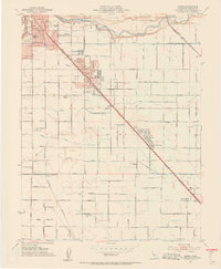
1953 Map of Ceres
USGS Topo · Published 1954About this map
The Tuolumne River flows through the northern reaches of this mid-century survey, defining the landscape between the expanding urban center of Modesto and the agricultural communities to the south. The dual corridors of the Southern Pacific and the Atchison Topeka and Santa Fe railroads anchor the local economy, driving the development of Ceres and Keyes. These transportation lines run parallel to the irrigation network of the Main Canal, which feeds a grid of lateral roads supporting rural homesteads and family farms. Local life is centered around a dense network of educational institutions, from the Union H S in Ceres to the more remote Central School and Faith Home School. The map captures the region's character as a productive San Joaquin Valley hub, where public infrastructure like the Modesto Municipal Airport and County Hospital sit alongside established rural landmarks like Yoris Grove.
Find a feature on this map
52 named features on this map. Tap any name to fly to it.
Don’t see what you’re looking for? This feature index may not catch every label — zoom into the map to look around manually.
Map Details
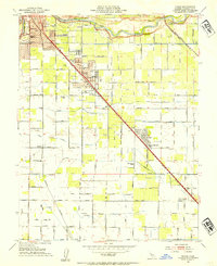
Editions of this 1953 Ceres Map
2 editions found
Other maps of this area

1915 · Westport
USGS Topo · 1:31,680

1915 · Salida
USGS Topo · 1:31,680

1916 · Mitchell School
USGS Topo · 1:31,680

1916 · Crows Landing
USGS Topo · 1:31,680

1916 · Riverbank
USGS Topo · 1:31,680

1916 · Denair
USGS Topo · 1:31,680

1916 · Waterford
USGS Topo · 1:31,680

1916 · Ceres
USGS Topo · 1:31,680

1917 · Turlock
USGS Topo · 1:31,680

1919 · Orestimba
USGS Topo · 1:62,500