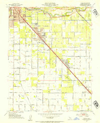
1953 Map of Ceres
USGS Topo · Published 1954About this map
The Tuolumne River defines the northern reaches of this mid-century Stanislaus County landscape, where the growing community of Ceres is bisected by the Southern Pacific railroad. The map reflects a highly organized agricultural grid, sustained by irrigation infrastructure like the Ceres Main Canal and Main Canal. Education is central to the area's development, evidenced by the distribution of campuses including Union High School, Caswell School, and the Faith Home School.
Find a feature on this map
41 named features on this map. Tap any name to fly to it.
Don’t see what you’re looking for? This feature index may not catch every label — zoom into the map to look around manually.
Map Details
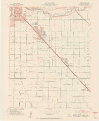
Editions of this 1953 Ceres Map
2 editions found
Other maps of this area

1915 · Westport
USGS Topo · 1:31,680

1915 · Salida
USGS Topo · 1:31,680

1916 · Mitchell School
USGS Topo · 1:31,680

1916 · Crows Landing
USGS Topo · 1:31,680

1916 · Riverbank
USGS Topo · 1:31,680

1916 · Denair
USGS Topo · 1:31,680

1916 · Waterford
USGS Topo · 1:31,680

1916 · Ceres
USGS Topo · 1:31,680

1917 · Turlock
USGS Topo · 1:31,680

1919 · Orestimba
USGS Topo · 1:62,500