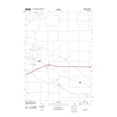
2011 Map of Ceresco
USGS Topo · Published 2011About this map
The Kalamazoo River carves a path through the southern half of this landscape, anchoring the settlement of Ceresco. This river-centric topography is defined by its drainage network, with Pigeon Creek, Crooked Creek, and Dickinson Creek feeding into the main waterway. The settlement pattern reflects both traditional rural town centers and more modern residential developments such as Wattles Park and Pennfield.
Find a feature on this map
72 named features on this map. Tap any name to fly to it.
Don’t see what you’re looking for? This feature index may not catch every label — zoom into the map to look around manually.
Map Details
Editions of this 2011 Ceresco Map
This is the sole edition of this map. No revisions or reprints were ever made.
Other maps of this area

1918 · Battle Creek
USGS Topo · 1:62,500

1918 · Union City
USGS Topo · 1:62,500

1921 · Marshall
USGS Topo · 1:62,500

1923 · Marshall
USGS Topo · 1:62,500

1943 · Battle Creek
USGS Topo · 1:62,500

1943 · Marshall
USGS Topo · 1:62,500

1947 · Bellevue
USGS Topo · 1:24,000

1947 · Bedford
USGS Topo · 1:24,000

1947 · Ceresco
USGS Topo · 1:24,000

1947 · Battle Creek
USGS Topo · 1:24,000