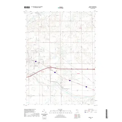
2019 Map of Ceresco
USGS Topo · Published 2019About this map
The Kalamazoo River winds through the southern reach of this landscape, serving as the central geographic artery for the communities of Ceresco and Wattles Park. This region of Calhoun County displays a transition from the structured residential expansions near Pennfield to the open, water-dotted lowlands of the north, where Cleveland Lake, Mud Lake, and Black Marsh dominate the terrain. Genealogical interest is particularly high here, as the sheet meticulously identifies local burial grounds including Sandstone Cem, Ceresco Cem, Newbre Cem, and the expansive Floral Lawn Memorial Gardens. The settlement pattern follows the established corridors of the Kalamazoo River and Pigeon Cr, while modern recreation is marked by the presence of the N Country National Scenic Trail, which meanders across the southern half of the quadrangle.
Find a feature on this map
87 named features on this map. Tap any name to fly to it.
Don’t see what you’re looking for? This feature index may not catch every label — zoom into the map to look around manually.
Map Details
Editions of this 2019 Ceresco Map
This is the sole edition of this map. No revisions or reprints were ever made.
Other maps of this area

1918 · Battle Creek
USGS Topo · 1:62,500

1918 · Union City
USGS Topo · 1:62,500

1921 · Marshall
USGS Topo · 1:62,500

1923 · Marshall
USGS Topo · 1:62,500

1943 · Battle Creek
USGS Topo · 1:62,500

1943 · Marshall
USGS Topo · 1:62,500

1947 · Bellevue
USGS Topo · 1:24,000

1947 · Bedford
USGS Topo · 1:24,000

1947 · Ceresco
USGS Topo · 1:24,000

1947 · Battle Creek
USGS Topo · 1:24,000