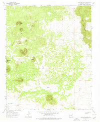
1967 Map of Cerro Brillante
USGS Topo · Published 1978About this map
The Continental Divide winds through this high-altitude landscape in western New Mexico, marking a stark volcanic and topographic boundary. To the east, the terrain is dominated by the jagged basalt of The Malpais, where expansive Lava flows define the surface. The map captures a series of prominent volcanic peaks or cerros, including Cerro Piedrita, Cerro Lobo, and Cerro Colorado, which rise above the surrounding flats.
Find a feature on this map
17 named features on this map. Tap any name to fly to it.
Don’t see what you’re looking for? This feature index may not catch every label — zoom into the map to look around manually.
Map Details
Editions of this 1967 Cerro Brillante Map
2 editions found
Other maps of this area

1954 · Saint Johns
USGS Topo · 1:250,000

1957 · Saint Johns
USGS Topo · 1:250,000

1958 · Saint Johns
USGS Topo · 1:250,000

1962 · Saint Johns
USGS Topo · 1:250,000
1967 · Ice Caves SE
USGS Topo · 1:24,000
1967 · Cerro Hueco
USGS Topo · 1:24,000
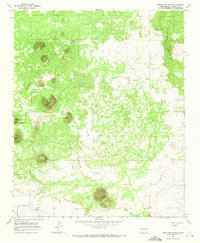
1967 · Cerro Brillante
USGS Topo · 1:24,000
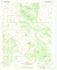
1967 · Goat Hill
USGS Topo · 1:24,000

1967 · Cerro Alto
USGS Topo · 1:24,000
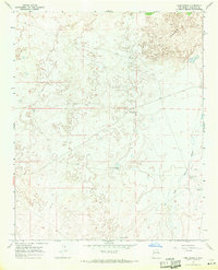
1967 · York Ranch
USGS Topo · 1:24,000