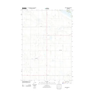
2013 Map of Cerro Gordo
USGS Topo · Published 2013About this map
The settlement of Cerro Gordo anchors this agricultural landscape in Lac qui Parle County, where the prairie is defined by a rigorous section-line road grid. The northeast corner of the quadrangle is shaped by the wide valley of the Minnesota River, which forms the natural boundary with Chippewa County. This 2013 survey illustrates a rural community focused on the land, where small watercourses like Emily Cr drain the fields toward the river valley. Genealogists may find particular interest in the Borgund Lutheran Church Cem, located south of the main township area. The map documents the enduring spatial arrangement of western Minnesota farmsteads and rural townships, showing the intersection of local routes like MN-40 and MN-119 as they connect this remote township to the broader region.
Find a feature on this map
3 named features on this map. Tap any name to fly to it.
Don’t see what you’re looking for? This feature index may not catch every label — zoom into the map to look around manually.
Map Details
Editions of this 2013 Cerro Gordo Map
This is the sole edition of this map. No revisions or reprints were ever made.
Other maps of this area

1953 · Milbank
USGS Topo · 1:250,000

1953 · Watertown
USGS Topo · 1:250,000

1953 · New Ulm
USGS Topo · 1:250,000

1953 · Saint Cloud
USGS Topo · 1:250,000

1957 · Saint Cloud
USGS Topo · 1:250,000

1957 · New Ulm
USGS Topo · 1:250,000

1958 · New Ulm
USGS Topo · 1:250,000

1958 · Milbank
USGS Topo · 1:250,000

1958 · Watertown
USGS Topo · 1:250,000

1958 · Saint Cloud
USGS Topo · 1:250,000