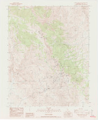
1987 Map of Cerro Gordo Peak
USGS Topo · Published 1987About this map
Cerro Gordo Mine and a high-altitude network of vertical extraction points dominate this portion of the Inyo Mountains during the late 1980s. The landscape is defined by its industrial history, centered on Cerro Gordo Peak, where a complex of tunnels and shafts such as the Estelle Tunnel, Omega Tunnel, and Ignacio Mine are mapped alongside an extensive Tramway system. Small support sites like Harts Camp and a small Cem (cemetery) provide evidence of the localized human presence required to maintain these remote operations.
Find a feature on this map
30 named features on this map. Tap any name to fly to it.
Don’t see what you’re looking for? This feature index may not catch every label — zoom into the map to look around manually.
Map Details
Editions of this 1987 Cerro Gordo Peak Map
2 editions found
Other maps of this area

1908 · Ballarat
USGS Topo · 1:250,000

1913 · Ballarat
USGS Topo · 1:250,000

1948 · Death Valley
USGS Topo · 1:250,000

1950 · Darwin
USGS Topo · 1:62,500

1950 · New York Butte
USGS Topo · 1:62,500

1950 · Ubehebe Peak
USGS Topo · 1:62,500

1951 · New York Butte
USGS Topo · 1:62,500

1951 · Darwin
USGS Topo · 1:62,500

1951 · Ubehebe Peak
USGS Topo · 1:62,500

1951 · Keeler
USGS Topo · 1:62,500