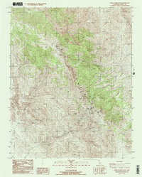
1987 Map of Cerro Gordo Peak
USGS Topo · Published 1987About this map
Mining operations dominate the high elevations of the Inyo Mountains in this 1980s survey, centered on the storied silver and lead deposits of the Cerro Gordo Mine. The landscape is a network of industrial excavations and infrastructure, including the Omega Tunnel, Estelle Tunnel, and a Tram tower, alongside numerous unnamed prospects and mine dumps. At an elevation of over 9,000 feet, Cerro Gordo Peak towers over the surrounding terrain, where water sources like Mexican Spring and Cerro Gordo Spring were critical for both life and industry in this arid environment.
Find a feature on this map
24 named features on this map. Tap any name to fly to it.
Don’t see what you’re looking for? This feature index may not catch every label — zoom into the map to look around manually.
Map Details
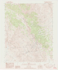
Editions of this 1987 Cerro Gordo Peak Map
2 editions found
Other maps of this area

1908 · Ballarat
USGS Topo · 1:250,000

1913 · Ballarat
USGS Topo · 1:250,000

1948 · Death Valley
USGS Topo · 1:250,000

1950 · Darwin
USGS Topo · 1:62,500

1950 · New York Butte
USGS Topo · 1:62,500

1950 · Ubehebe Peak
USGS Topo · 1:62,500

1951 · New York Butte
USGS Topo · 1:62,500

1951 · Darwin
USGS Topo · 1:62,500

1951 · Ubehebe Peak
USGS Topo · 1:62,500

1951 · Keeler
USGS Topo · 1:62,500