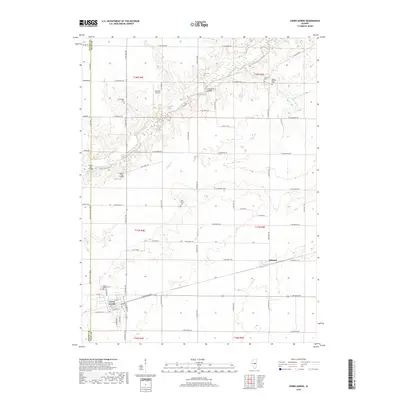
2018 Map of Cerro Gordo
USGS Topo · Published 2018About this map
Cerro Gordo sits at the southwestern edge of this landscape, serving as a hub for the surrounding agricultural plains of Piatt and Macon counties. The village is well-defined by its grid of streets including W Franklin St and Hunt St, bordered by the Cerro Gordo Cem. To the east, the smaller settlement of Milmine lies along the railroad corridor, illustrating the area's historical reliance on rail for grain transport.
Find a feature on this map
50 named features on this map. Tap any name to fly to it.
Don’t see what you’re looking for? This feature index may not catch every label — zoom into the map to look around manually.
Map Details
Editions of this 2018 Cerro Gordo Map
This is the sole edition of this map. No revisions or reprints were ever made.
Other maps of this area

1929 · Decatur
USGS Topo · 1:62,500

1933 · Decatur
USGS Topo · 1:62,500

1937 · Monticello
USGS Topo · 1:48,000

1943 · Monticello
USGS Topo · 1:62,500

1955 · Bement
USGS Topo · 1:62,500

1957 · Maroa
USGS Topo · 1:62,500

1958 · Peoria
USGS Topo · 1:250,000

1958 · Decatur
USGS Topo · 1:250,000

1961 · Peoria
USGS Topo · 1:250,000

1961 · Decatur
USGS Topo · 1:250,000