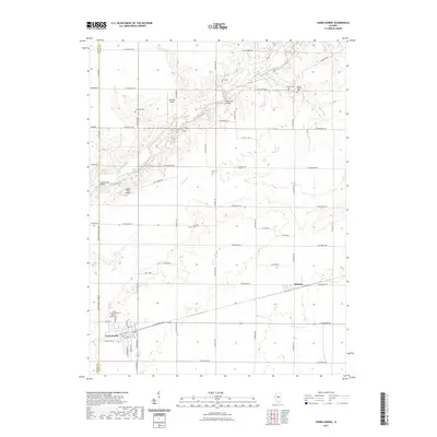
2021 Map of Cerro Gordo
USGS Topo · Published 2021About this map
Cerro Gordo and Milmine anchor this rural landscape in Piatt County, where the grid of agricultural roads is punctuated by the winding course of the Sangamon River. The terrain is marked by family and community history, evidenced by a high density of small burial grounds such as Ater Cem, Pioneer Cem, and Croninger Cem. These sites, often located near local watercourses like Willow Br, provide critical points of reference for genealogists tracking early settler footprints in the region.
Find a feature on this map
42 named features on this map. Tap any name to fly to it.
Don’t see what you’re looking for? This feature index may not catch every label — zoom into the map to look around manually.
Map Details
Editions of this 2021 Cerro Gordo Map
This is the sole edition of this map. No revisions or reprints were ever made.
Other maps of this area

1929 · Decatur
USGS Topo · 1:62,500

1933 · Decatur
USGS Topo · 1:62,500

1937 · Monticello
USGS Topo · 1:48,000

1943 · Monticello
USGS Topo · 1:62,500

1955 · Bement
USGS Topo · 1:62,500

1957 · Maroa
USGS Topo · 1:62,500

1958 · Peoria
USGS Topo · 1:250,000

1958 · Decatur
USGS Topo · 1:250,000

1961 · Peoria
USGS Topo · 1:250,000

1961 · Decatur
USGS Topo · 1:250,000