
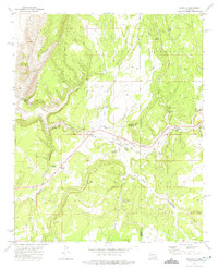
1952 Map of Cerro Montoso
USGS Topo · Published 1959About this map
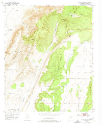
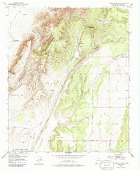
The Sevilleta Grant land division dominates this mid-century survey of the New Mexico interior, centered on the rugged transition between the Los Pinos Mountains and the arid drainage basins to the east. The landscape is defined by the complex topography of Cerro Montoso and Cerro Pelon, where elevations are meticulously recorded at survey stations like VABM 7375 Pinos. Human presence is sparse and tied directly to water sources and ranching, evidenced by the scattered Burris and Nunn Ranch and Parker Ranch.
Find a feature on this map
34 named features on this map. Tap any name to fly to it.
Don’t see what you’re looking for? This feature index may not catch every label — zoom into the map to look around manually.
Map Details
Editions of this 1952 Cerro Montoso Map
3 editions found
Other maps of this area

1916 · La Joya
USGS Topo · 1:125,000

1952 · Black Butte
USGS Topo · 1:24,000

1952 · Becker SW
USGS Topo · 1:24,000

1952 · Becker
USGS Topo · 1:24,000

1954 · Socorro
USGS Topo · 1:250,000

1958 · Socorro
USGS Topo · 1:250,000

1962 · Socorro
USGS Topo · 1:250,000
1972 · Sierra Larga North
USGS Topo · 1:24,000
1972 · Sierra De La Cruz
USGS Topo · 1:24,000
1972 · Scholle
USGS Topo · 1:24,000