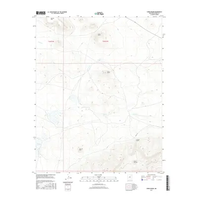
2017 Map of Cerro Negro
USGS Topo · Published 2017About this map
Santa Fe Trl cuts across this high-plains landscape in Mora County, marking a corridor of movement through the high elevations of northern New Mexico. The geography is defined by a series of prominent volcanic features and mesas, including the namesake Cerro Negro and the neighboring Cerro de Ore. Water is a critical and sparse element in this environment, represented by the spring at Ojo de las Gallinas, the ephemeral drainage of Gallinas Cr, and the enclosed basin of Laguna Salada. To the southeast, the terrain rises into the Turkey Mountains, while Mclamar Canyon provides a natural passage through the broken ground. This 2017 survey documents the modern topography of a region where historic transport routes and distinctive geologic formations have long dictated the patterns of human activity and land use.
Find a feature on this map
12 named features on this map. Tap any name to fly to it.
Don’t see what you’re looking for? This feature index may not catch every label — zoom into the map to look around manually.
Map Details
Editions of this 2017 Cerro Negro Map
This is the sole edition of this map. No revisions or reprints were ever made.
Other maps of this area

1889 · Las Vegas
USGS Topo · 1:125,000

1891 · Las Vegas
USGS Topo · 1:125,000

1892 · Watrous
USGS Topo · 1:125,000

1893 · Las Vegas
USGS Topo · 1:125,000

1894 · Watrous
USGS Topo · 1:125,000

1954 · Santa Fe
USGS Topo · 1:250,000

1954 · Raton
USGS Topo · 1:250,000

1958 · Raton
USGS Topo · 1:250,000

1958 · Santa Fe
USGS Topo · 1:250,000

1963 · Fort Union
USGS Topo · 1:24,000